Air Ambulance Helicopter to Durham, Woodside Lane
Tuesday, 21 April 2026 | 14:39 | From Egglescliffe
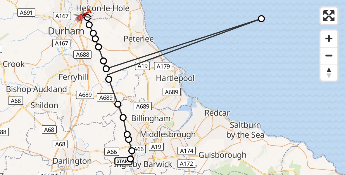
On Tuesday, 21 April 2026 at 14:39, a Air Ambulance Helicopter departed from Egglescliffe to Durham. It was the Air Ambulance Helicopter with registration number G-NHAD. The flight lasted 9 minutes. During that period, the aircraft travelled 65 miles at an average speed of 411 miles per hour at a maximum altitude of 1375 feet.
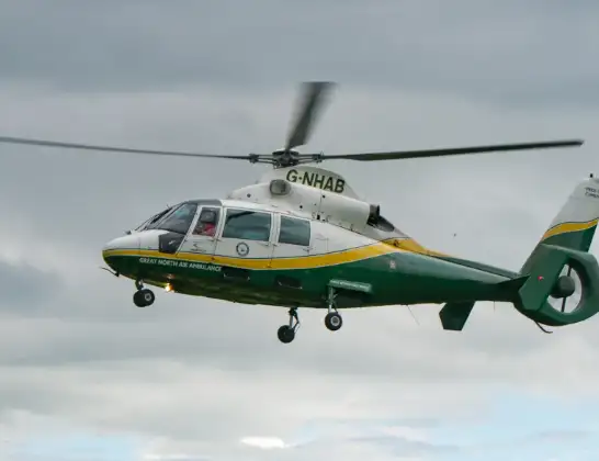
Helicopter: G-NHAD
The helicopter G-NHAD is used as a air ambulance helicopter. The main purpose of this aircraft is to transport a Mobile Medical Team to an incident as quickly as possible, enabling the trauma doctor to provide immediate first aid on site. The aircraft is flying this flight as Air Ambulance Helicopter.
Photo: Samloynes 1
65 miles
1375 feet
411 mph
10 minutes
14:39
14:49

Route
Woodside Lane, County Durham14:49
West Rainton, County Durham14:48
Pittington, County Durham14:48
Littletown, County Durham14:47
Sherburn Hill, County Durham14:47
Cassop, County Durham14:47
Kelloe, County Durham14:46
Trimdon Village, County Durham14:45
North Sea14:45
Fishburn, County Durham14:45
Sedgefield, County Durham14:44
Thorpe Thewles, Stockton-on-Tees14:43
Carlton, Stockton-on-Tees14:42
Stockton-on-Tees, Stockton-on-Tees14:42
Arrathorne Road, Stockton-on-Tees14:41
Elton, Stockton-on-Tees14:41
Eaglescliffe, Stockton-on-Tees14:40
Egglescliffe, Stockton-on-Tees14:39
Live flights
Today
Flights Durham
Air Ambulance Helicopter to Egglescliffe26 Mar 17:42
Air Ambulance Helicopter to Durham, Flass Vale12 Mar 16:53
Police Helicopter to Durham, Black Drive9 Mar 14:33
Flights Egglescliffe
Air Ambulance Helicopter to Egglescliffe20 Apr 19:54
Air Ambulance Helicopter to Wylam, Keelman's Way20 Apr 09:56
Air Ambulance Helicopter to Egglescliffe19 Apr 12:18
Helicopter flights on your website?
You can easily display helicopter flights on your own website. Use the embed code.
