Air Ambulance Helicopter to Penwood, Andover Road
Tuesday, 21 April 2026 | 11:26 | From Southampton Airport
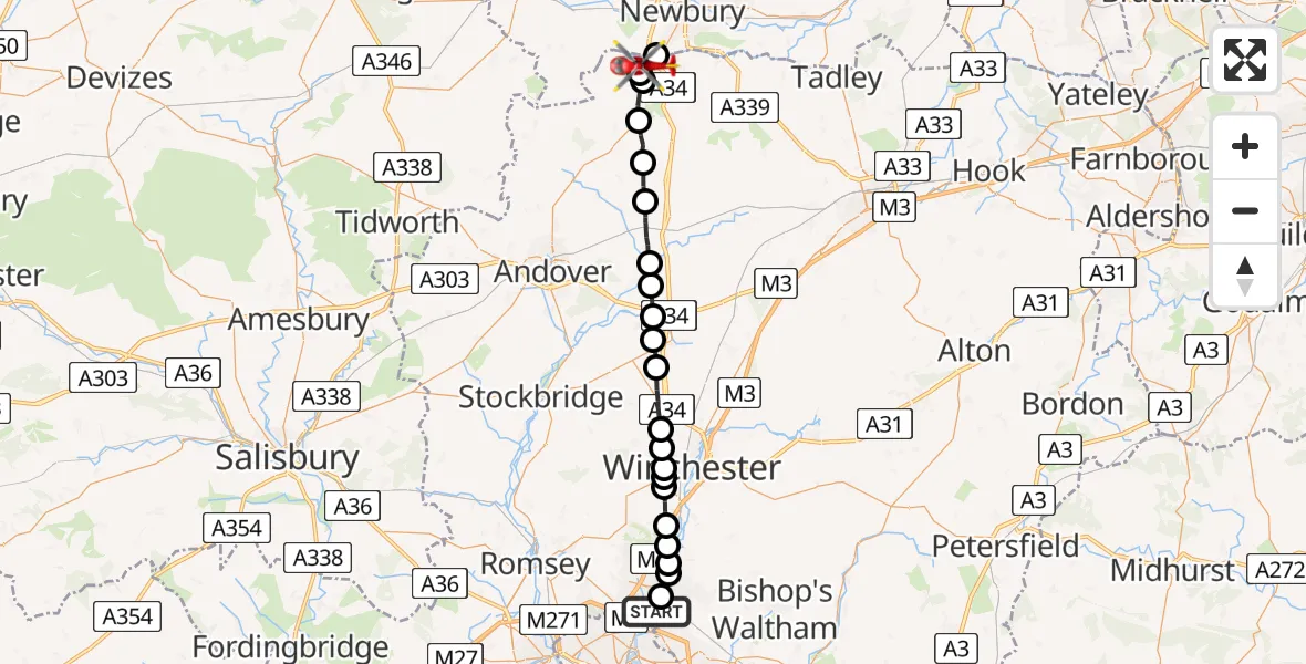
On Tuesday, 21 April 2026 at 11:26, a Air Ambulance Helicopter departed from Southampton Airport to Penwood. It was the Air Ambulance Helicopter with registration number G-HIOW. The flight lasted 15 minutes. During that period, the aircraft travelled 31 miles at an average speed of 128 miles per hour at a maximum altitude of 1125 feet.
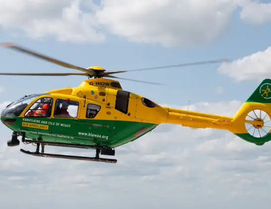
Helicopter: G-HIOW
The helicopter G-HIOW is used as a air ambulance helicopter. The main purpose of this aircraft is to transport a Mobile Medical Team to an incident as quickly as possible, enabling the trauma doctor to provide immediate first aid on site. The aircraft is flying this flight as Air Ambulance Helicopter.
Photo: JF2608
32 miles
1125 feet
128 mph
15 minutes
11:26
11:40

Route
Andover Road, Hampshire11:40
Penwood, Hampshire11:40
Enborne Row, West Berkshire11:39
Penwood, Hampshire11:39
Highclere, Hampshire11:38
Basingstoke and Deane, Hampshire11:37
St. Mary Bourne, Hampshire11:36
Hurstbourne Priors, Hampshire11:35
Longparish, Hampshire11:34
Barton Stacey, Hampshire11:33
Test Valley, Hampshire11:33
Sutton Scotney, Hampshire11:32
Littleton, Hampshire11:30
Sparsholt, Hampshire11:30
Winchester, Hampshire11:30
Hursley, Hampshire11:29
Winchester, Hampshire11:29
Compton, Hampshire11:28
Otterbourne, Hampshire11:28
Colden Common, Hampshire11:27
Highbridge, Hampshire11:27
Dutton Lane, Hampshire11:27
Eastleigh, Hampshire11:26
Southampton Airport, Southampton11:26
Live flights
Today
Flights Penwood
Helicopter flights on your website?
You can easily display helicopter flights on your own website. Use the embed code.
