Air Ambulance Helicopter to Hook, Quince Tree Way
Monday, 20 April 2026 | 17:06 | From Southampton Airport
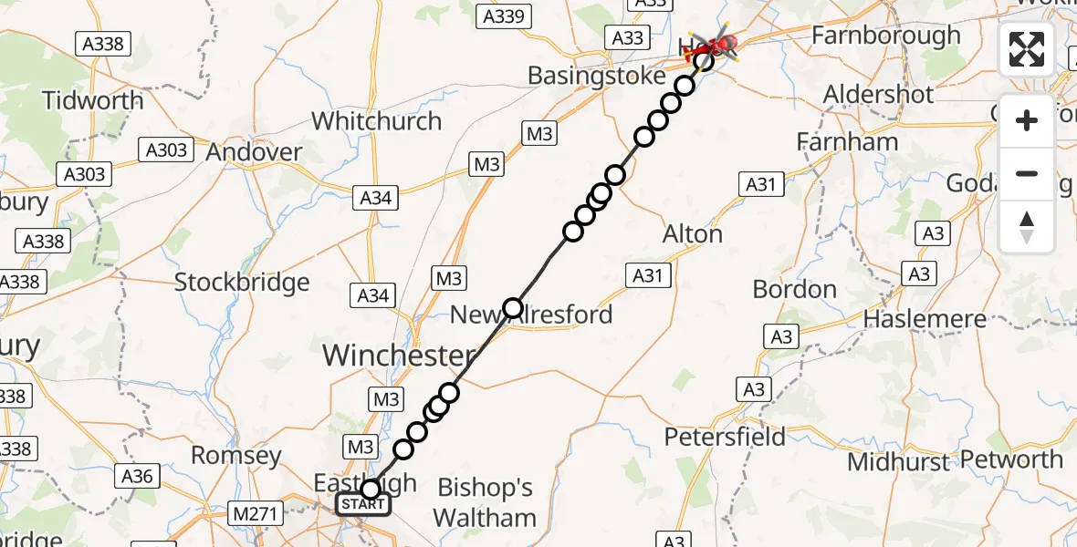
On Monday, 20 April 2026 at 17:06, a Air Ambulance Helicopter departed from Southampton Airport to Hook. It was the Air Ambulance Helicopter with registration number G-HIOW. The flight lasted 15 minutes. During that period, the aircraft travelled 30 miles at an average speed of 117 miles per hour at a maximum altitude of 1100 feet.
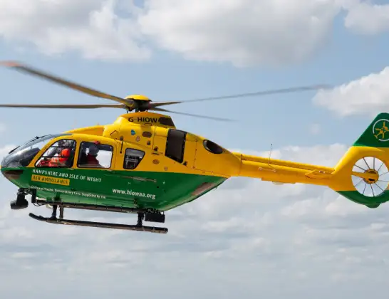
Helicopter: G-HIOW
The helicopter G-HIOW is used as a air ambulance helicopter. The main purpose of this aircraft is to transport a Mobile Medical Team to an incident as quickly as possible, enabling the trauma doctor to provide immediate first aid on site. The aircraft is flying this flight as Air Ambulance Helicopter.
Photo: JF2608
30 miles
1100 feet
117 mph
16 minutes
17:06
17:22

Route
Quince Tree Way, Hampshire17:22
Hook, Hampshire17:20
Up Nately, Hampshire17:19
Mapledurwell, Hampshire17:19
Upton Grey, Hampshire17:18
Weston Patrick, Hampshire17:17
Herriard, Hampshire17:16
Bentworth, Hampshire17:16
Bradley, Hampshire17:16
Lower Wield, Hampshire17:15
Upper Wield, Hampshire17:15
Old Alresford, Hampshire17:12
Winchester, Hampshire17:10
Owslebury, Hampshire17:10
Winchester, Hampshire17:09
Fisher's Pond, Hampshire17:09
Colden Common, Hampshire17:08
Bishopstoke Road, Hampshire17:07
Chickenhall Lane, Hampshire17:07
Southampton Airport, Southampton17:06
Live flights
Today
Flights Hook
Air Ambulance Helicopter to Hook, Nursery Close23 Mar 00:24
Helicopter flights on your website?
You can easily display helicopter flights on your own website. Use the embed code.
