Police Helicopter to Thornliebank, Robslee Road
Sunday, 19 April 2026 | 22:48 | From Newton Mearns
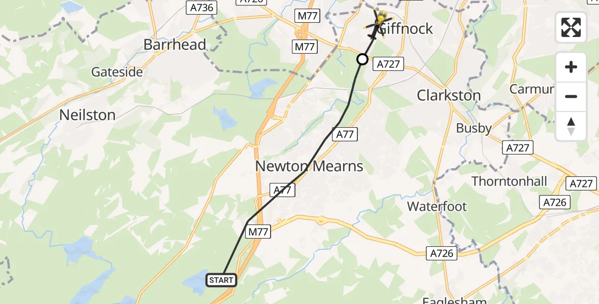
On Sunday, 19 April 2026 at 22:48, a Police Helicopter departed from Newton Mearns to Thornliebank. It was the Police Helicopter with registration number G-POLS. The flight lasted 3 minutes. During that period, the aircraft travelled 5 miles at an average speed of 98 miles per hour at a maximum altitude of 1250 feet.
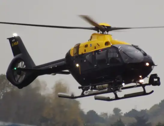
Helicopter: G-POLS
The helicopter G-POLS is used by the British police. The helicopter is deployed in pursuits, missing persons cases and other incidents where a helicopter provides added value.
Photo: James from Cheltenham, Gloucestershire
5 miles
1250 feet
98 mph
4 minutes
22:48
22:51

Route
Robslee Road, East Renfrewshire22:51
Thornliebank, East Renfrewshire22:50
M77, East Renfrewshire22:48
Today
Flights Thornliebank
Police Helicopter to Thornliebank, Robslee Road19 Apr 22:48
Police Helicopter to Boghead, Strathaven Road17 Feb 13:44
Police Helicopter to Thornliebank18 Jan 19:54
Helicopter flights on your website?
You can easily display helicopter flights on your own website. Use the embed code.
