Air Ambulance Helicopter to Preston, Sharoe Green Lane
Sunday, 19 April 2026 | 20:38 | From Ulverston
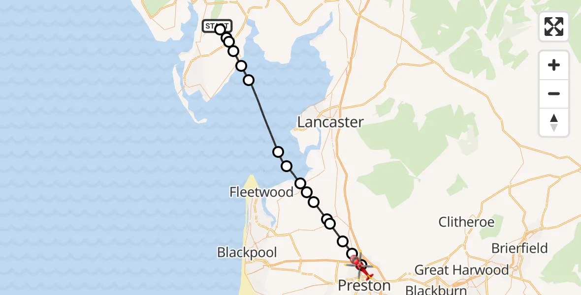
On Sunday, 19 April 2026 at 20:38, a Air Ambulance Helicopter departed from Ulverston to Preston. It was the Air Ambulance Helicopter with registration number G-NHAE. The flight lasted 14 minutes. During that period, the aircraft travelled 36 miles at an average speed of 152 miles per hour at a maximum altitude of 2300 feet.
Helicopter: G-NHAE
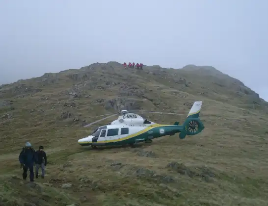
The helicopter G-NHAE is used as a air ambulance helicopter. The main purpose of this aircraft is to transport a Mobile Medical Team to an incident as quickly as possible, enabling the trauma doctor to provide immediate first aid on site. The aircraft is flying this flight as Air Ambulance Helicopter.
Photo: Michael Earnshaw
36 miles
2300 feet
152 mph
15 minutes
20:38
20:53

Route
Sharoe Green Lane, Lancashire20:53
Preston, Lancashire20:51
Broughton, Lancashire20:51
Eaves, Lancashire20:50
Wyre, Lancashire20:49
St Michael's on Wyre, Lancashire20:48
Nateby, Lancashire20:47
Wyre, Lancashire20:47
Pilling, Lancashire20:46
Wyre, Lancashire20:46
Overton, Lancashire20:45
Lower Holker, Westmorland and Furness20:41
Aldingham, Westmorland and Furness20:41
Bardsea, Westmorland and Furness20:40
Ulverston, Westmorland and Furness20:39
Swarthmoor, Westmorland and Furness20:39
Broughton Beck, Westmorland and Furness20:39
Ulverston, Westmorland and Furness20:38
Live flights
Today
Flights Preston
Air Ambulance Helicopter to Preston, Bridge Road17 Jul 18:04
Air Ambulance Helicopter to RAF Northolt12 Jul 21:21
Air Ambulance Helicopter to Blackpool Airport12 Jul 13:18
Flights Ulverston
Air Ambulance Helicopter to Lancaster General18 Jul 19:24
Air Ambulance Helicopter to Royal Preston7 Jun 09:32
Air Ambulance Helicopter to Ulverston7 Jun 08:29
Air Ambulance Helicopter to Blackpool Airport23 May 19:17
Police Helicopter to Ulverston28 Jan 04:54
Helicopter flights on your website?
You can easily display helicopter flights on your own website. Use the embed code.
