Air Ambulance Helicopter to Knotty Ash, South Drive
Sunday, 19 April 2026 | 18:26 | From Bispham
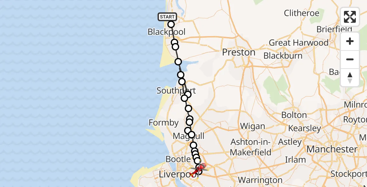
On Sunday, 19 April 2026 at 18:26, a Air Ambulance Helicopter departed from Bispham to Knotty Ash. It was the Air Ambulance Helicopter with registration number G-NWAA. The flight lasted 14 minutes. During that period, the aircraft travelled 45 miles at an average speed of 193 miles per hour at a maximum altitude of 725 feet.
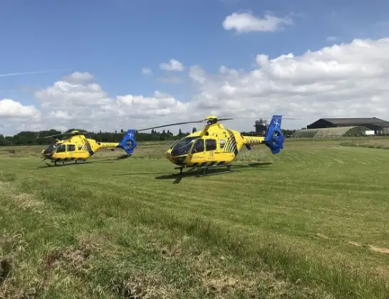
Helicopter: G-NWAA
The helicopter G-NWAA is used as a air ambulance helicopter. The main purpose of this aircraft is to transport a Mobile Medical Team to an incident as quickly as possible, enabling the trauma doctor to provide immediate first aid on site. The aircraft is flying this flight as Air Ambulance Helicopter.
Photo: Legion23
45 miles
725 feet
193 mph
14 minutes
18:26
18:39

Route
South Drive, Merseyside - Liverpool18:39
Knotty Ash, Liverpool18:39
Dovecot, Liverpool18:38
Croxteth, Liverpool18:38
Gillmoss, Liverpool18:37
Kirkby, Liverpool18:37
Kirkby, Knowsley18:37
Waddicar, Sefton18:36
Maghull, Sefton18:36
Lydiate, Sefton18:35
Aughton, Lancashire18:35
Downholland Cross, Lancashire18:34
Halsall, Lancashire18:34
Scarisbrick, Lancashire18:33
Southport, Sefton18:31
Sefton, Southport18:31
West Lancashire, Lancashire18:30
Fylde, Lancashire18:30
Lytham St Annes, Lancashire18:29
Marton Moss Side, Blackpool18:28
Blackpool, Blackpool18:27
All Saints Road, Blackpool18:26
Bispham, Blackpool18:26
Live flights
Today
Flights Bispham
Air Ambulance Helicopter to Bispham, Lower Walk19 Apr 17:53
Air Ambulance Helicopter to Blackpool Airport28 Feb 11:20
Helicopter flights on your website?
You can easily display helicopter flights on your own website. Use the embed code.
