Air Ambulance Helicopter to Metropolitan Police Air Support Unit Lippitts Hill
Sunday, 19 April 2026 | 15:20 | From Leyton
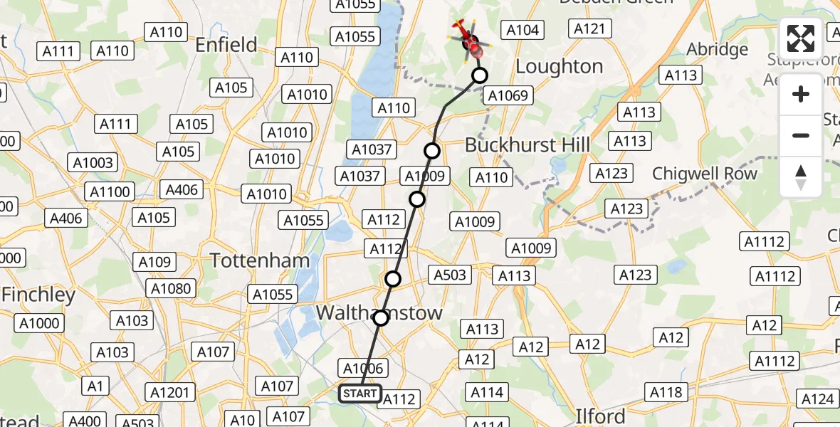
On Sunday, 19 April 2026 at 15:20, a Air Ambulance Helicopter departed from Leyton to Metropolitan Police Air Support Unit Lippitts Hill. It was the Air Ambulance Helicopter with registration number G-LAAA. The flight lasted 6 minutes. During that period, the aircraft travelled 7 miles at an average speed of 67 miles per hour at a maximum altitude of 675 feet.
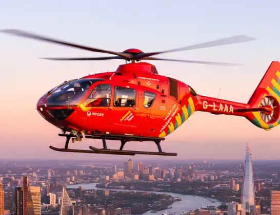
Helicopter: G-LAAA
The helicopter G-LAAA is used as a air ambulance helicopter. The main purpose of this aircraft is to transport a Mobile Medical Team to an incident as quickly as possible, enabling the trauma doctor to provide immediate first aid on site. The aircraft is flying this flight as Air Ambulance Helicopter.
Photo: Ton Snoei
7 miles
675 feet
67 mph
7 minutes
15:20
15:26

Route
Metropolitan Police Air Support Unit Lippitts Hill, Loughton, Essex15:26
Metropolitan Police Air Support Unit Lippitts Hill, Loughton, Essex15:25
Metropolitan Police Air Support Unit Lippitts Hill, Loughton, Essex15:25
Sewardstonebury, Essex15:24
Chingford, Waltham Forest15:23
Highams Park, Waltham Forest15:22
Walthamstow, Waltham Forest15:21
Waltham Forest, Waltham Forest15:21
The Avenue, Greater London - Waltham Forest15:20
Today
Flights Leyton
Police Helicopter to Leyton, Hainault Road25 May 15:10
Police Helicopter to Leyton, Murchison Road23 Apr 01:37
Police Helicopter to Leyton, Perth Road18 Apr 05:30
Police Helicopter to Leyton, Perth Road18 Apr 05:30
Police Helicopter to Leyton, Perth Road18 Apr 05:30
Police Helicopter to Leyton, Perth Road18 Apr 05:30
Police Helicopter to Leyton, Perth Road18 Apr 05:30
Police Helicopter to Leyton, Perth Road18 Apr 05:30
Helicopter flights on your website?
You can easily display helicopter flights on your own website. Use the embed code.
