Air Ambulance Helicopter to Merriott, Beadon Lane
Sunday, 19 April 2026 | 15:01 | From Henstridge Airfield
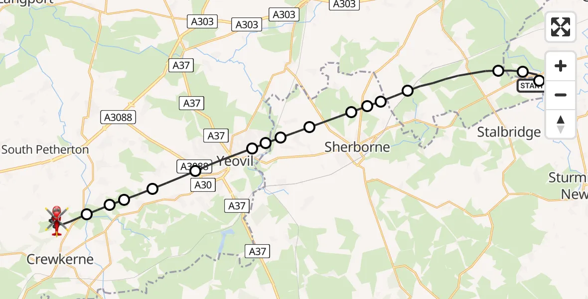
On Sunday, 19 April 2026 at 15:01, a Air Ambulance Helicopter departed from Henstridge Airfield to Merriott. It was the Air Ambulance Helicopter with registration number G-DSAA. The flight lasted 18 minutes. During that period, the aircraft travelled 24 miles at an average speed of 79 miles per hour at a maximum altitude of 1000 feet.
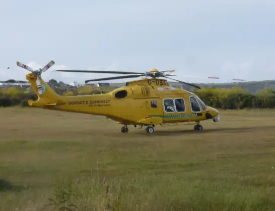
Helicopter: G-DSAA
The helicopter G-DSAA is used as a air ambulance helicopter. The main purpose of this aircraft is to transport a Mobile Medical Team to an incident as quickly as possible, enabling the trauma doctor to provide immediate first aid on site. The aircraft is flying this flight as Air Ambulance Helicopter.
Photo: Andrew Bone
24 miles
1000 feet
79 mph
19 minutes
15:01
15:19

Route
Beadon Lane, Somerset15:19
Beadon Lane, Somerset15:18
Merriott, Somerset15:13
West Chinnock, Somerset15:13
Middle Chinnock Airstrip, Yeovil, Somerset15:13
East Chinnock, Somerset15:12
West Coker, Somerset15:11
Yeovil, Somerset15:10
Yeovil Without, Somerset15:10
Over Compton, Dorset15:10
Nether Compton, Dorset15:09
Castleton, Dorset15:09
Oborne, Dorset15:08
Poyntington, Dorset15:08
Milborne Wick, Somerset15:08
Henstridge, Somerset15:06
Nyland Lane, Dorset15:05
Fifehead Magdalen, Dorset15:05
Henstridge Airfield, Templecombe, Somerset15:01
Live flights
Today
Police Helicopter to Crickadarn01:28:18
Flights Merriott
Air Ambulance Helicopter to Yeovil, Tithe Court21 Apr 19:59
Air Ambulance Helicopter to Henstridge Airfield19 Apr 16:53
Helicopter flights on your website?
You can easily display helicopter flights on your own website. Use the embed code.
