Police Helicopter to Betchworth, FP 448
Sunday, 19 April 2026 | 12:44 | From Redhill
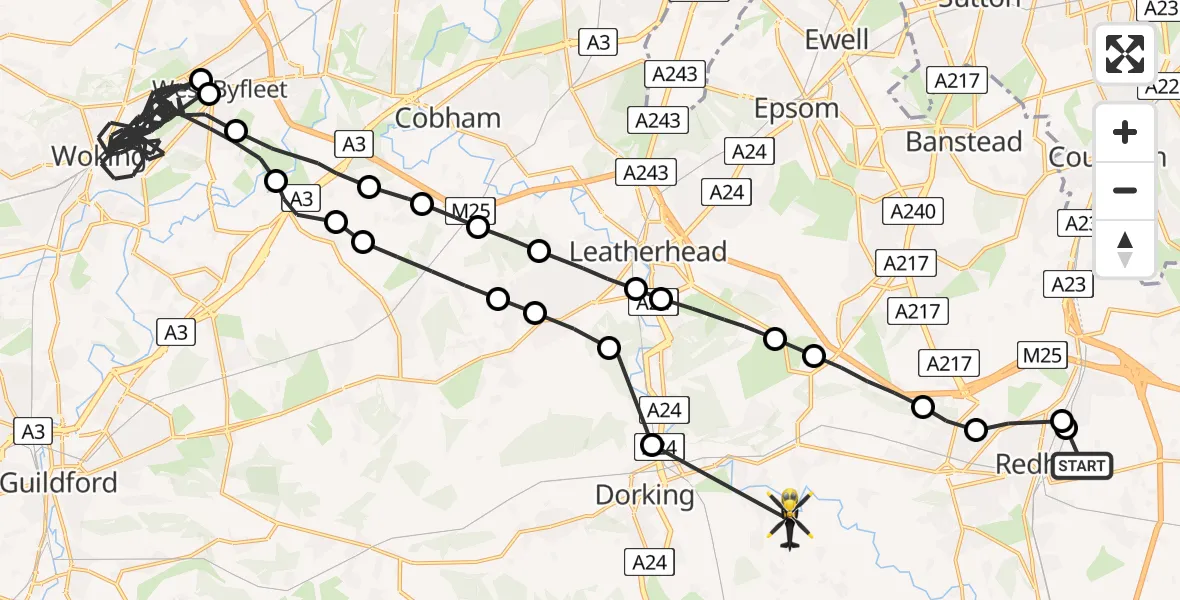
On Sunday, 19 April 2026 at 12:44, a Police Helicopter departed from Redhill to Betchworth. It was the Police Helicopter with registration number G-POLH. The flight lasted 43 minutes. During that period, the aircraft travelled 61 miles at an average speed of 86 miles per hour at a maximum altitude of 900 feet.
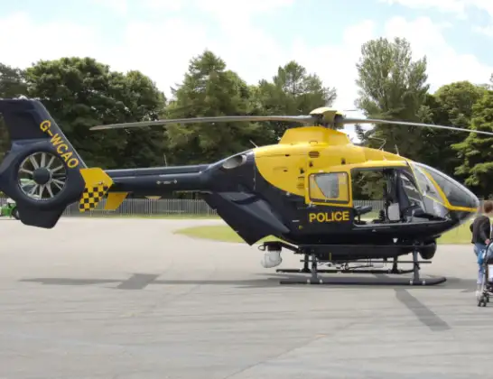
Helicopter: G-POLH
The helicopter G-POLH is used by the British police. The helicopter is deployed in pursuits, missing persons cases and other incidents where a helicopter provides added value.
Photo: Arpingstone
61 miles
900 feet
86 mph
43 minutes
12:44
13:26

Route
FP 448, Surrey13:26
Westhumble, Surrey13:25
Mickleham, Surrey13:24
Great Bookham, Surrey13:24
Little Bookham, Surrey13:24
Guildford, Surrey13:23
Wisley Airfield, Woking, Surrey13:22
Guildford, Surrey13:22
Woking, Surrey13:00
Runnymede, Surrey13:00
Woking, Surrey12:51
Guildford, Surrey12:50
Hatchford, Surrey12:50
Downside, Surrey12:49
Fetcham, Surrey12:49
Hawk's Hill, Surrey12:48
Givons Grove, Surrey12:48
Headley, Surrey12:47
Reigate and Banstead, Surrey12:46
Lower Kingswood, Surrey12:45
Reigate, Surrey12:45
Gatton, Surrey12:44
Merstham, Surrey12:44
Cormongers Lane, Surrey12:44
Today
Flights Betchworth
Police Helicopter to Betchworth, FP 44819 Apr 12:44
Air Ambulance Helicopter to Redhill Aerodrome25 Feb 21:14
Flights Redhill
Police Helicopter to Tandridge, Moats Lane29 May 15:09
Police Helicopter to North Weald Airfield20 May 11:58
Police Helicopter to Betchworth, FP 44819 Apr 12:44
Police Helicopter to Salfords, Moats Lane31 Mar 14:37
Police Helicopter to Redhill Aerodrome30 Mar 13:28
Police Helicopter to Redhill Aerodrome28 Mar 18:17
Police Helicopter to Redhill, Canadian Road16 Mar 15:59
Helicopter flights on your website?
You can easily display helicopter flights on your own website. Use the embed code.
