Coastguard Helicopter to Coire Loch nan Eang
Saturday, 18 April 2026 | 21:40 | From Àirigh Aulaidh
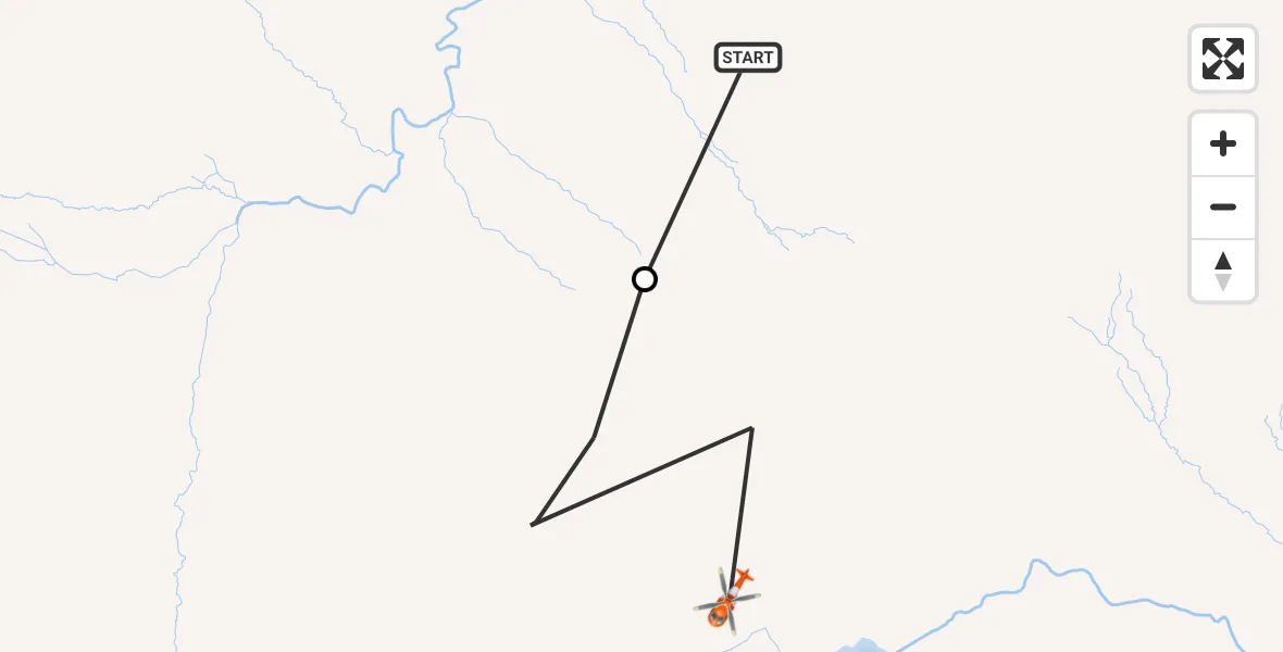
On Saturday, 18 April 2026 at 21:40, a Coastguard Helicopter departed from Àirigh Aulaidh to Coire Loch nan Eang. It was the Coastguard Helicopter with registration number G-MCGZ. The flight lasted 2 minutes. During that period, the aircraft travelled 2 miles at an average speed of 45 miles per hour at a maximum altitude of 2175 feet.
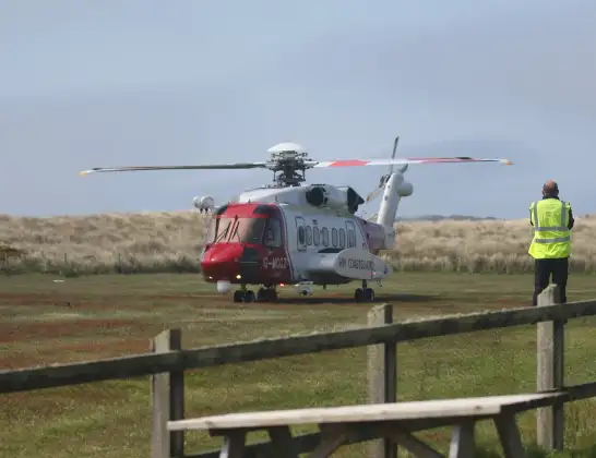
Helicopter: G-MCGZ
The helicopter G-MCGZ is used by the British Coastguard. The helicopter is deployed in search and rescue operations at sea, rescue operations involving ships or drilling platforms, patrols to prevent smuggling or piracy, environmental monitoring and disaster relief support.
Photo: Andrewrabbott
2 miles
2175 feet
45 mph
3 minutes
21:40
21:42

Route
Coire Loch nan Eang, Na h-Eileanan Siar21:42
Coire Loch nan Eang, Na h-Eileanan Siar21:41
Àirigh Aulaidh, Na h-Eileanan Siar21:40
Live flights
Police Helicopter on its way from Boverton18 Apr 22:56
Police Helicopter on its way from Chingford18 Apr 22:40
Police Helicopter on its way from East Ardsley18 Apr 22:26
Today
Coastguard Helicopter to Inner Seas18 Apr 22:20
Coastguard Helicopter to Inverness Airport18 Apr 22:05
Police Aircraft to East Midlands Airport18 Apr 21:54
Air Ambulance Helicopter to Inverness Airport18 Apr 21:49
Air Ambulance Helicopter to RAF Benson18 Apr 21:45
Police Helicopter to MOD St Athan18 Apr 21:41
Coastguard Helicopter to Coire Loch nan Eang18 Apr 21:40
Helicopter flights on your website?
You can easily display helicopter flights on your own website. Use the embed code.
