Air Ambulance Helicopter to Urchfont, Peppercombe Lane
Saturday, 18 April 2026 | 21:00 | From Stratton St. Margaret
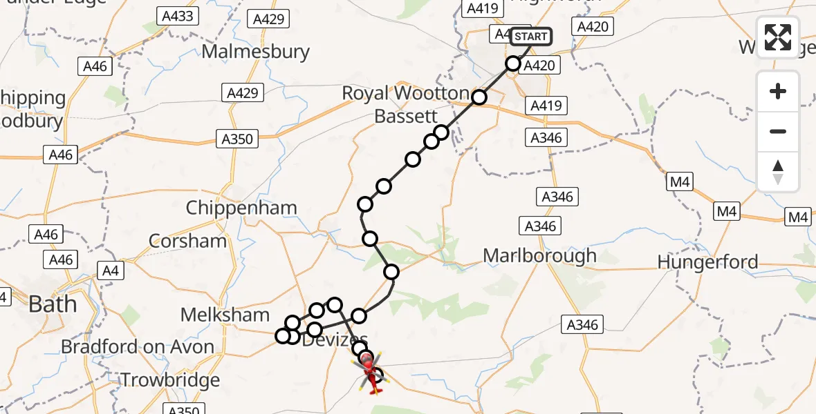
On Saturday, 18 April 2026 at 21:00, a Air Ambulance Helicopter departed from Stratton St. Margaret to Urchfont. It was the Air Ambulance Helicopter with registration number G-WLTS. The flight lasted 17 minutes. During that period, the aircraft travelled 36 miles at an average speed of 131 miles per hour at a maximum altitude of 1650 feet.
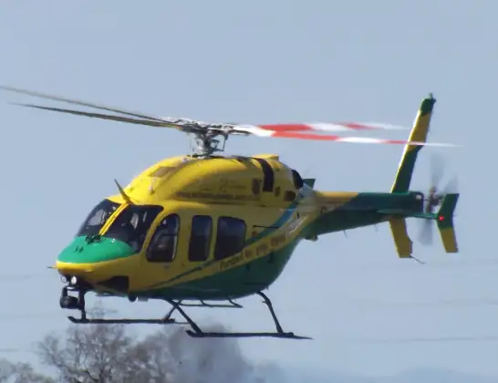
Helicopter: G-WLTS
The helicopter G-WLTS is used as a air ambulance helicopter. The main purpose of this aircraft is to transport a Mobile Medical Team to an incident as quickly as possible, enabling the trauma doctor to provide immediate first aid on site. The aircraft is flying this flight as Air Ambulance Helicopter.
Photo: James
37 miles
1650 feet
131 mph
17 minutes
21:00
21:17

Route
Peppercombe Lane, Wiltshire21:17
Urchfont, Wiltshire21:14
Stert, Wiltshire21:14
Bishops Cannings, Wiltshire21:13
Devizes, Wiltshire21:12
Heddington, Wiltshire21:11
Rowde, Wiltshire21:10
Seend, Wiltshire21:10
Poulshot, Wiltshire21:10
Rowde, Wiltshire21:09
Devizes, Wiltshire21:08
Bishops Cannings, Wiltshire21:07
Cherhill, Wiltshire21:06
Compton Bassett, Wiltshire21:05
Hilmarton, Wiltshire21:05
Clyffe Pypard, Wiltshire21:04
Broad Town, Wiltshire21:04
Royal Wootton Bassett, Wiltshire21:03
Wroughton, Swindon21:02
Swindon, Swindon21:02
Kingsdown Road, Swindon21:00
Live flights
Today
Flights Urchfont
Air Ambulance Helicopter to Urchfont, B309812 Jan 16:17
Helicopter flights on your website?
You can easily display helicopter flights on your own website. Use the embed code.
