Air Ambulance Helicopter to Aislaby, Egglescliffe
Saturday, 18 April 2026 | 19:37 | From Hepple
On Saturday, 18 April 2026 at 19:37, a Air Ambulance Helicopter departed from Hepple to Aislaby. It was the Air Ambulance Helicopter with registration number G-NHAD. The flight lasted 18 minutes. During that period, the aircraft travelled 66 miles at an average speed of 217 miles per hour at a maximum altitude of 2800 feet.
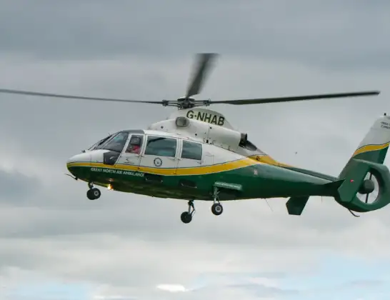
Helicopter: G-NHAD
The helicopter G-NHAD is used as a air ambulance helicopter. The main purpose of this aircraft is to transport a Mobile Medical Team to an incident as quickly as possible, enabling the trauma doctor to provide immediate first aid on site. The aircraft is flying this flight as Air Ambulance Helicopter.
Photo: Samloynes 1
67 miles
2800 feet
217 mph
19 minutes
19:37
19:55

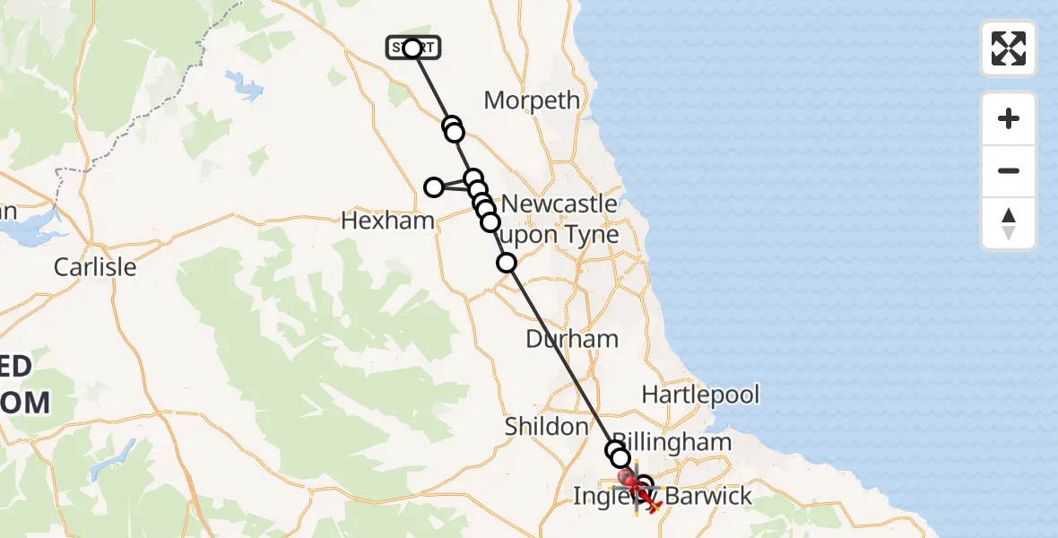
Route
Egglescliffe, Stockton-on-Tees19:55
Aislaby, Stockton-on-Tees19:55
Egglescliffe, Stockton-on-Tees19:54
Bishopton, Darlington19:52
Mordon, County Durham19:52
Hamsterley Mill, County Durham19:45
Gateshead, Gateshead19:43
Wylam, Northumberland19:43
Heddon-on-the-Wall, Northumberland19:42
Stamfordham, Northumberland19:42
Matfen, Northumberland19:42
Stamfordham, Northumberland19:41
Belsay, Northumberland19:40
Capheaton, Northumberland19:39
Elsdon, Northumberland19:37
Hepple, Northumberland19:37
Live flights
Flights Aislaby
Air Ambulance Helicopter to Ingleton, B62558 Apr 13:57
Air Ambulance Helicopter to Bowes, Bowes Road29 Mar 10:53
Air Ambulance Helicopter to Corsenside23 Mar 16:01
Air Ambulance Helicopter to Wingate, Green Lane20 Mar 18:14
Police Helicopter to Sherburn-in-Elmet Airfield19 Feb 14:44
Flights Hepple
Helicopter flights on your website?
You can easily display helicopter flights on your own website. Use the embed code.
