Air Ambulance Helicopter to Weston Colville, Common Road
Friday, 17 April 2026 | 16:29 | From Kersey
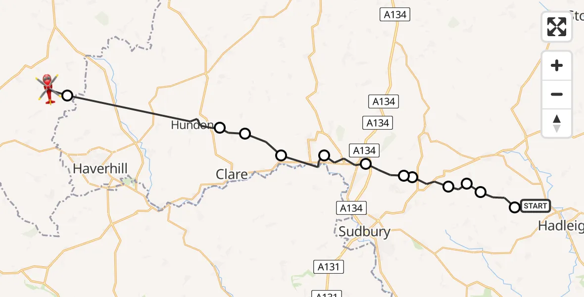
On Friday, 17 April 2026 at 16:29, a Air Ambulance Helicopter departed from Kersey to Weston Colville. It was the Air Ambulance Helicopter with registration number G-SCAA. The flight lasted 10 minutes. During that period, the aircraft travelled 25 miles at an average speed of 145 miles per hour at a maximum altitude of 1050 feet.
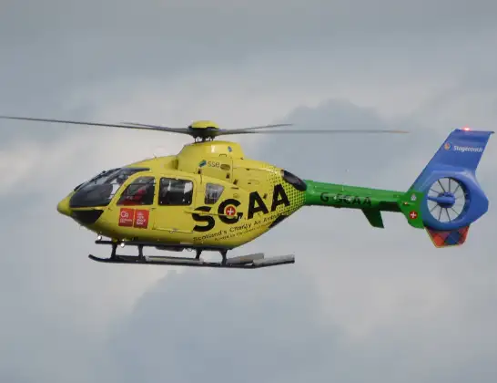
Helicopter: G-SCAA
The helicopter G-SCAA is used as a air ambulance helicopter. The main purpose of this aircraft is to transport a Mobile Medical Team to an incident as quickly as possible, enabling the trauma doctor to provide immediate first aid on site. The aircraft is flying this flight as Air Ambulance Helicopter.
Photo: Jonathan Payne
26 miles
1050 feet
145 mph
11 minutes
16:29
16:40

Route
Common Road, Cambridgeshire16:40
Carlton, Cambridgeshire16:39
Hundon, Suffolk16:36
Poslingford, Suffolk16:35
Cavendish, Suffolk16:35
Glemsford, Suffolk16:34
Long Melford, Suffolk16:33
Acton, Suffolk16:32
Great Waldingfield, Suffolk16:32
Little Waldingfield, Suffolk16:31
Milden, Suffolk16:31
Milden Airstrip, Ipswich, Suffolk16:30
Lindsey, Suffolk16:30
Mill Lane, Suffolk16:29
Live flights
Today
Flights Kersey
Helicopter flights on your website?
You can easily display helicopter flights on your own website. Use the embed code.
