Air Ambulance Helicopter to Christchurch, Riverside Avenue
Friday, 17 April 2026 | 16:15 | From Royal Bournemouth Hospital
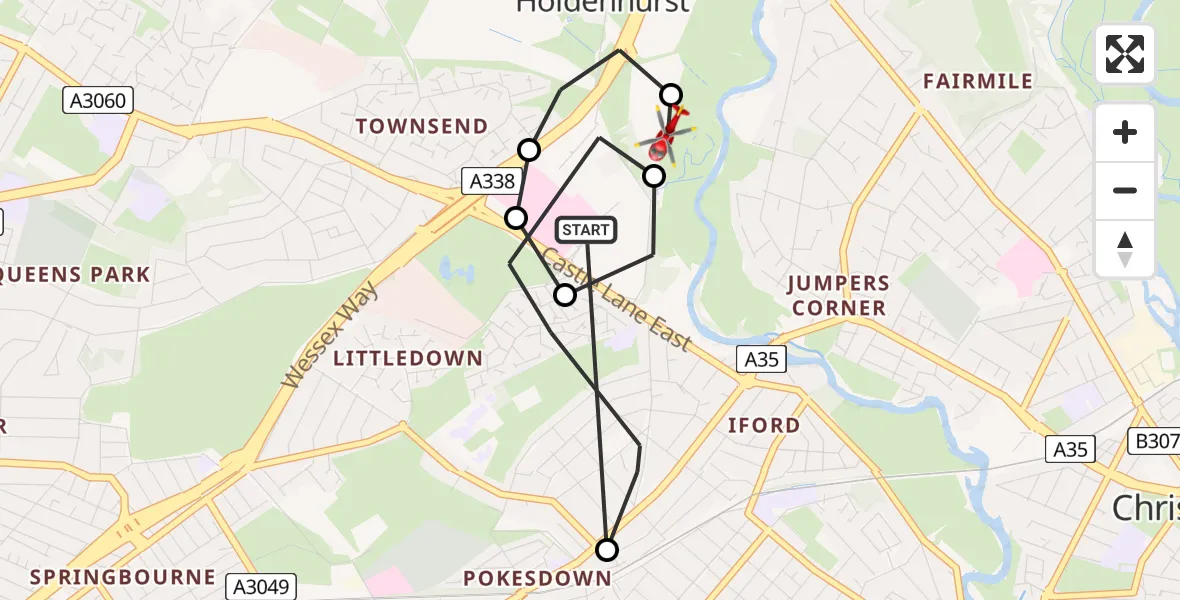
On Friday, 17 April 2026 at 16:15, a Air Ambulance Helicopter departed from Royal Bournemouth Hospital to Christchurch. It was the Air Ambulance Helicopter with registration number G-DSAA. The flight lasted 6 minutes. During that period, the aircraft travelled 4 miles at an average speed of 43 miles per hour at a maximum altitude of 650 feet.
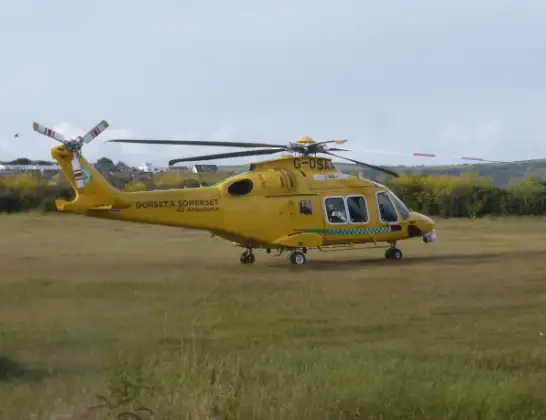
Helicopter: G-DSAA
The helicopter G-DSAA is used as a air ambulance helicopter. The main purpose of this aircraft is to transport a Mobile Medical Team to an incident as quickly as possible, enabling the trauma doctor to provide immediate first aid on site. The aircraft is flying this flight as Air Ambulance Helicopter.
Photo: Andrew Bone
5 miles
650 feet
43 mph
7 minutes
16:15
16:21

Route
Riverside Avenue, Bournemouth, Christchurch and Poole16:21
Christchurch, Bournemouth, Christchurch and Poole16:21
Bournemouth, Bournemouth, Christchurch and Poole16:19
Royal Bournemouth Hospital, Bournemouth16:19
Bournemouth, Bournemouth, Christchurch and Poole16:19
Christchurch, Bournemouth, Christchurch and Poole16:19
Hebron Road, Bournemouth, Christchurch and Poole16:17
Royal Bournemouth Hospital, Bournemouth16:16
Royal Bournemouth Hospital, Bournemouth16:15
Live flights
Today
Flights Christchurch
Police Helicopter to Bournemouth Airport20 May 20:15
Police Helicopter to Bournemouth Airport30 Jan 22:46
Helicopter flights on your website?
You can easily display helicopter flights on your own website. Use the embed code.
