Air Ambulance Helicopter to Loftus, Kilton Lane
Friday, 17 April 2026 | 15:28 | From Egglescliffe
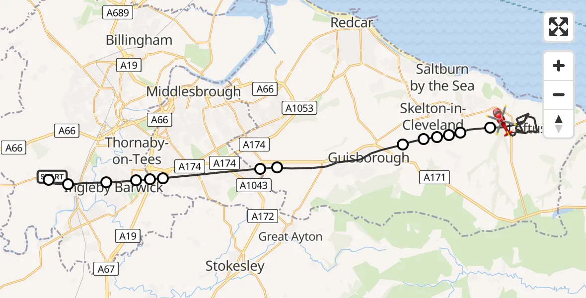
On Friday, 17 April 2026 at 15:28, a Air Ambulance Helicopter departed from Egglescliffe to Loftus. It was the Air Ambulance Helicopter with registration number G-NHAD. The flight lasted 14 minutes. During that period, the aircraft travelled 26 miles at an average speed of 114 miles per hour at a maximum altitude of 1250 feet.
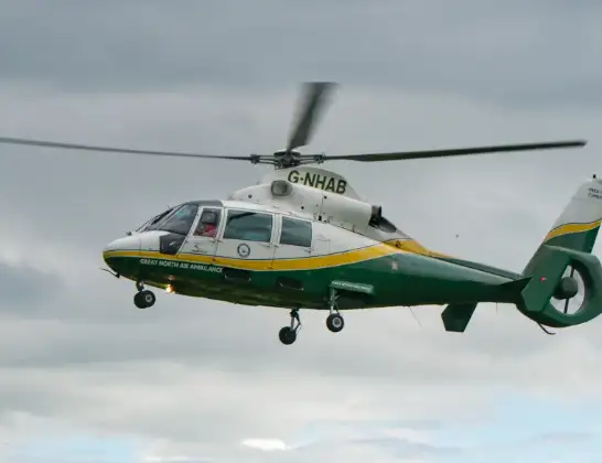
Helicopter: G-NHAD
The helicopter G-NHAD is used as a air ambulance helicopter. The main purpose of this aircraft is to transport a Mobile Medical Team to an incident as quickly as possible, enabling the trauma doctor to provide immediate first aid on site. The aircraft is flying this flight as Air Ambulance Helicopter.
Photo: Samloynes 1
27 miles
1250 feet
114 mph
14 minutes
15:28
15:42

Route
Kilton Lane, Redcar and Cleveland15:42
Loftus, Redcar and Cleveland15:37
North Skelton, Redcar and Cleveland15:36
Skelton-in-Cleveland, Redcar and Cleveland15:36
Boosbeck, Redcar and Cleveland15:36
Skelton Green, Redcar and Cleveland15:35
Charltons, Redcar and Cleveland15:35
Guisborough, Redcar and Cleveland15:33
Middlesbrough, Redcar and Cleveland15:32
Middlesbrough, Middlesbrough15:31
Thornton, Middlesbrough15:31
Thornaby-on-Tees, Stockton-on-Tees15:30
Ingleby Barwick, Stockton-on-Tees15:30
Eaglescliffe, Stockton-on-Tees15:29
Aislaby, Stockton-on-Tees15:29
Longnewton Lane, Stockton-on-Tees15:28
Live flights
Today
Flights Loftus
Air Ambulance Helicopter to Loftus, Kilton Lane17 Apr 15:28
Flights Egglescliffe
Air Ambulance Helicopter to Egglescliffe15 Jul 14:03
Air Ambulance Helicopter to Egglescliffe, A6713 Jul 15:39
Air Ambulance Helicopter to Egglescliffe, A6713 Jul 13:57
Air Ambulance Helicopter to Egglescliffe10 Jul 15:36
Helicopter flights on your website?
You can easily display helicopter flights on your own website. Use the embed code.
