Air Ambulance Helicopter to Uplawmoor, Gleniffer Road
Friday, 17 April 2026 | 15:19 | From Queen Elizabeth Hospital
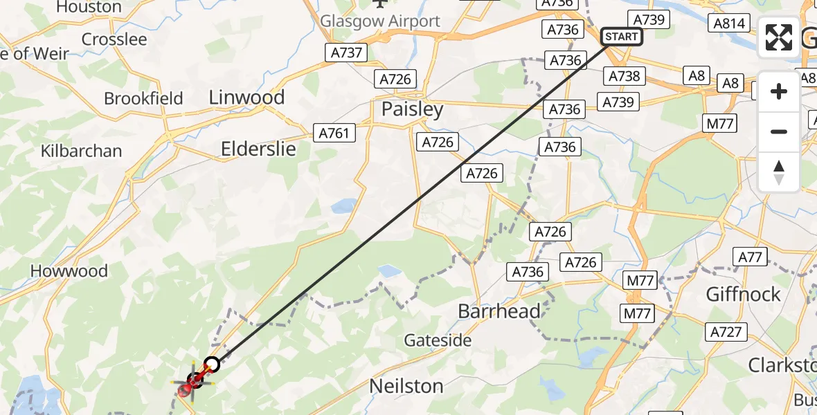
On Friday, 17 April 2026 at 15:19, a Air Ambulance Helicopter departed from Queen Elizabeth Hospital to Uplawmoor. It was the Air Ambulance Helicopter with registration number G-ISAS. The flight lasted 10 minutes. During that period, the aircraft travelled 12 miles at an average speed of 75 miles per hour at a maximum altitude of 2150 feet.
Helicopter: G-ISAS
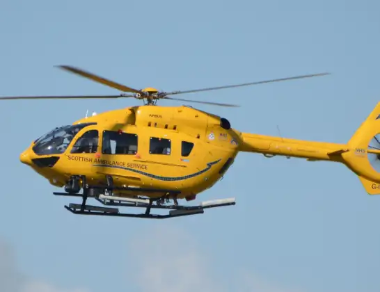
The helicopter G-ISAS is used as a air ambulance helicopter. The main purpose of this aircraft is to transport a Mobile Medical Team to an incident as quickly as possible, enabling the trauma doctor to provide immediate first aid on site. The aircraft is flying this flight as Air Ambulance Helicopter.
Photo: Jonathan Payne
12 miles
2150 feet
75 mph
10 minutes
15:19
15:28

Route
Gleniffer Road, Renfrewshire15:28
Uplawmoor, Renfrewshire15:28
Elderslie, East Renfrewshire15:28
Uplawmoor, Renfrewshire15:26
Elderslie, East Renfrewshire15:26
Uplawmoor, Renfrewshire15:25
Elderslie, East Renfrewshire15:23
Uplawmoor, Renfrewshire15:22
Elderslie, East Renfrewshire15:21
Uplawmoor, Renfrewshire15:20
Elderslie, East Renfrewshire15:20
Uplawmoor, Renfrewshire15:19
Queen Elizabeth Hospital, 15:19
Live flights
Today
Flights Uplawmoor
Police Helicopter to Uplawmoor13:53:00
Police Helicopter to Glasgow, Govan Road23 Jun 15:53
Police Helicopter to Uplawmoor, Gleniffer Road31 May 21:25
Police Helicopter to Paisley, Greenlaw Drive18 May 23:42
Police Helicopter to Hessilhead, Beith Road5 May 17:54
Police Helicopter to Uplawmoor4 May 13:45
Helicopter flights on your website?
You can easily display helicopter flights on your own website. Use the embed code.
