Air Ambulance Helicopter to Basildon, Nether Mayne
Friday, 17 April 2026 | 14:27 | From Felixstowe
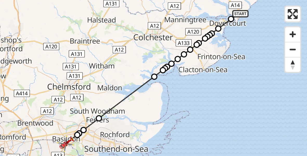
On Friday, 17 April 2026 at 14:27, a Air Ambulance Helicopter departed from Felixstowe to Basildon. It was the Air Ambulance Helicopter with registration number G-EHAT. The flight lasted 26 minutes. During that period, the aircraft travelled 47 miles at an average speed of 110 miles per hour at a maximum altitude of 1050 feet.
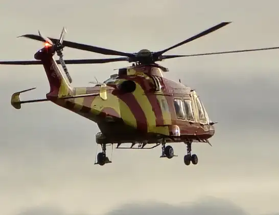
Helicopter: G-EHAT
The helicopter G-EHAT is used as a air ambulance helicopter. The main purpose of this aircraft is to transport a Mobile Medical Team to an incident as quickly as possible, enabling the trauma doctor to provide immediate first aid on site. The aircraft is flying this flight as Air Ambulance Helicopter.
Photo: By Steve Knight
48 miles
1050 feet
110 mph
26 minutes
14:27
14:53

Route
Basildon, Essex14:53
Nether Mayne, Essex14:53
Basildon, Essex14:49
Wickford, Essex14:49
Basildon, Essex14:49
Rochford, Essex14:47
Maldon, Essex14:41
West Mersea, Essex14:40
Colchester, Essex14:39
North Sea14:39
East Mersea, Essex14:39
Brightlingsea, Essex14:38
Thorrington, Essex14:37
Great Bentley, Essex14:36
Weeley, Essex14:36
Tendring, Essex14:35
Beaumont-cum-Moze, Essex14:35
Great Oakley, Essex14:34
Beaumont-cum-Moze, Essex14:34
Great Oakley, Essex14:34
Little Oakley, Essex14:33
Harwich, Essex14:32
Elizabeth Way, Suffolk14:31
Felixstowe, Suffolk14:27
Live flights
Today
Flights Basildon
Air Ambulance Helicopter to Basildon7 Apr 17:24
Air Ambulance Helicopter to Basildon6 Apr 14:01
Flights Felixstowe
Helicopter flights on your website?
You can easily display helicopter flights on your own website. Use the embed code.
