Air Ambulance Helicopter to Earls Colne Airfield
Tuesday, 7 April 2026 | 17:34 | From Basildon
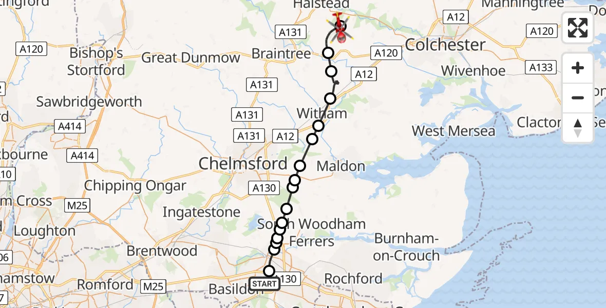
On Tuesday, 7 April 2026 at 17:34, a Air Ambulance Helicopter departed from Basildon to Earls Colne Airfield. It was the Air Ambulance Helicopter with registration number G-EHAT. The flight lasted 17 minutes. During that period, the aircraft travelled 26 miles at an average speed of 96 miles per hour at a maximum altitude of 925 feet.
Helicopter: G-EHAT
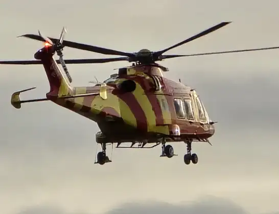
The helicopter G-EHAT is used as a air ambulance helicopter. The main purpose of this aircraft is to transport a Mobile Medical Team to an incident as quickly as possible, enabling the trauma doctor to provide immediate first aid on site. The aircraft is flying this flight as Air Ambulance Helicopter.
Photo: By Steve Knight
27 miles
925 feet
96 mph
17 minutes
17:34
17:51

Route
Earls Colne Airfield, Colchester, Essex17:51
Earls Colne Airfield, Colchester, Essex17:50
Braintree, Essex17:48
Coggeshall, Essex17:47
Braintree, Essex17:45
Witham, Essex17:44
Braintree, Essex17:44
Maldon, Essex17:43
Danbury, Essex17:42
Bicknacre, Essex17:42
East Hanningfield, Essex17:41
Rettendon Common, Essex17:41
Rettendon, Essex17:40
Coalhill, Essex17:40
Rettendon, Essex17:40
Basildon, Essex17:40
Wickford, Essex17:39
Southend Arterial Road, Essex17:38
Basildon, Essex17:34
Live flights
Today
Flights Basildon
Air Ambulance Helicopter to Earls Colne Airfield12 Jul 16:37
Air Ambulance Helicopter to North Weald Airfield12 Jul 15:15
Air Ambulance Helicopter to Basildon, Merrylands12 Jul 14:54
Helicopter flights on your website?
You can easily display helicopter flights on your own website. Use the embed code.
