Air Ambulance Helicopter to Petersfield, Woodbury Avenue
Friday, 17 April 2026 | 10:50 | From South Wonston
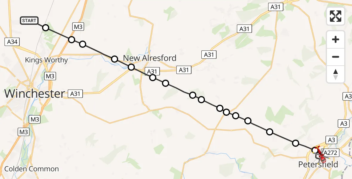
On Friday, 17 April 2026 at 10:50, a Air Ambulance Helicopter departed from South Wonston to Petersfield. It was the Air Ambulance Helicopter with registration number G-HIOW. The flight lasted 9 minutes. During that period, the aircraft travelled 20 miles at an average speed of 128 miles per hour at a maximum altitude of 1150 feet.
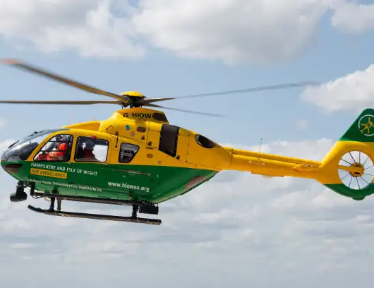
Helicopter: G-HIOW
The helicopter G-HIOW is used as a air ambulance helicopter. The main purpose of this aircraft is to transport a Mobile Medical Team to an incident as quickly as possible, enabling the trauma doctor to provide immediate first aid on site. The aircraft is flying this flight as Air Ambulance Helicopter.
Photo: JF2608
20 miles
1150 feet
128 mph
10 minutes
10:50
10:59

Route
Petersfield, Hampshire10:59
Woodbury Avenue, Hampshire10:58
Petersfield, Hampshire10:57
Stroud, Hampshire10:57
High Cross, Hampshire10:56
East Hampshire, Hampshire10:55
West Tisted, Hampshire10:55
West Tisted Airfield10:55
East Hampshire, Hampshire10:54
West Tisted, Hampshire10:54
Winchester, Hampshire10:54
Bishop's Sutton, Hampshire10:53
Winchester, Hampshire10:53
New Alresford, Hampshire10:52
Winchester, Hampshire10:52
Itchen Abbas, Hampshire10:51
Winchester, Hampshire10:50
Springvale, Hampshire10:50
Alresford Drove, Hampshire10:50
Live flights
Today
Flights Petersfield
Police Helicopter to Petersfield, Elm Drive16 Jun 20:58
Helicopter flights on your website?
You can easily display helicopter flights on your own website. Use the embed code.
