Air Ambulance Helicopter to Cleeve, Brockley Way
Tuesday, 14 April 2026 | 11:51 | From Almondsbury Helicopter Base
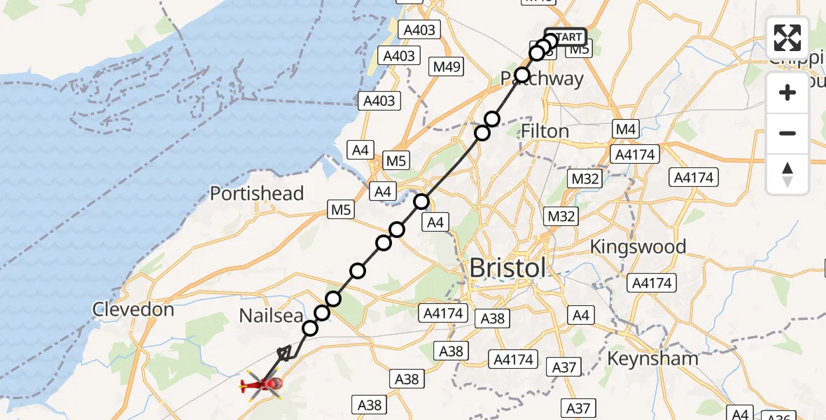
On Tuesday, 14 April 2026 at 11:51, a Air Ambulance Helicopter departed from Almondsbury Helicopter Base to Cleeve. It was the Air Ambulance Helicopter with registration number G-GWAC. The flight lasted 9 minutes. During that period, the aircraft travelled 16 miles at an average speed of 110 miles per hour at a maximum altitude of 1425 feet.
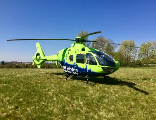
Helicopter: G-GWAC
The helicopter G-GWAC is used as a air ambulance helicopter. The main purpose of this aircraft is to transport a Mobile Medical Team to an incident as quickly as possible, enabling the trauma doctor to provide immediate first aid on site. The aircraft is flying this flight as Air Ambulance Helicopter.
Photo: Mojo0306
16 miles
1425 feet
110 mph
9 minutes
11:51
12:00

Route
Brockley Way, North Somerset12:00
Station Road, North Somerset11:59
Backwell, North Somerset11:57
Bristol, North Somerset11:57
Wraxall, North Somerset11:56
Portbury, North Somerset11:56
Abbots Leigh, North Somerset11:55
Bristol, North Somerset11:55
Abbots Leigh, North Somerset11:55
Bristol, Bristol, City of11:53
Catbrain, South Gloucestershire11:53
Bristol, South Gloucestershire11:52
Aztec West, South Gloucestershire11:52
Patchway, South Gloucestershire11:52
Bristol, South Gloucestershire11:52
Woodlands, South Gloucestershire11:51
Almondsbury Helicopter Base, Bristol, Somerset11:51
Today
Flights Cleeve
Air Ambulance Helicopter to Cleeve, Brockley Way14 Apr 11:51
Helicopter flights on your website?
You can easily display helicopter flights on your own website. Use the embed code.
