Air Ambulance Helicopter to Crownhill, Derriford Road
Sunday, 12 April 2026 | 18:39 | From Denbury
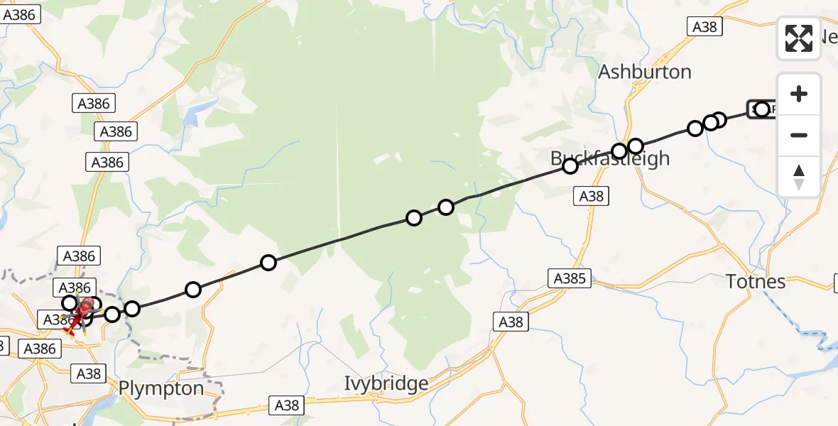
On Sunday, 12 April 2026 at 18:39, a Air Ambulance Helicopter departed from Denbury to Crownhill. It was the Air Ambulance Helicopter with registration number G-DAAN. The flight lasted 12 minutes. During that period, the aircraft travelled 22 miles at an average speed of 110 miles per hour at a maximum altitude of 2600 feet.
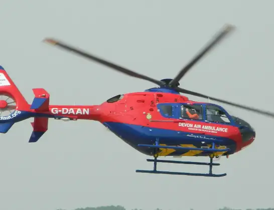
Helicopter: G-DAAN
The helicopter G-DAAN is used as a air ambulance helicopter. The main purpose of this aircraft is to transport a Mobile Medical Team to an incident as quickly as possible, enabling the trauma doctor to provide immediate first aid on site. The aircraft is flying this flight as Air Ambulance Helicopter.
Photo: MilborneOne
22 miles
2600 feet
110 mph
12 minutes
18:39
18:51

Route
Derriford Road, Plymouth18:51
Crownhill, Plymouth18:50
Glenholt, Plymouth18:50
Plymouth City Airport, Plymouth, Devon18:50
Crownhill, Plymouth18:49
Mainstone, Plymouth18:49
Sparkwell, Devon18:48
South Hams, Devon18:47
Lee Moor, Devon18:46
South Hams, Devon18:44
Didworthy, Devon18:44
South Hams, Devon18:42
Buckfastleigh, Devon18:41
South Hams, Devon18:41
Landscove, Devon18:40
Ashburton, Devon18:40
Beaston, Devon18:40
Teignbridge, Devon18:39
Denbury, Devon18:39
Live flights
Today
Flights Crownhill
Flights Denbury
Air Ambulance Helicopter to Denbury27 Apr 13:48
Air Ambulance Helicopter to Denbury, Teignbridge27 Apr 12:47
Helicopter flights on your website?
You can easily display helicopter flights on your own website. Use the embed code.
