Air Ambulance Helicopter to Broughton, Levensgarth Avenue
Sunday, 12 April 2026 | 12:23 | From Accrington
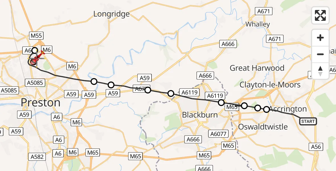
On Sunday, 12 April 2026 at 12:23, a Air Ambulance Helicopter departed from Accrington to Broughton. It was the Air Ambulance Helicopter with registration number G-NWAA. The flight lasted 10 minutes. During that period, the aircraft travelled 19 miles at an average speed of 115 miles per hour at a maximum altitude of 1925 feet.
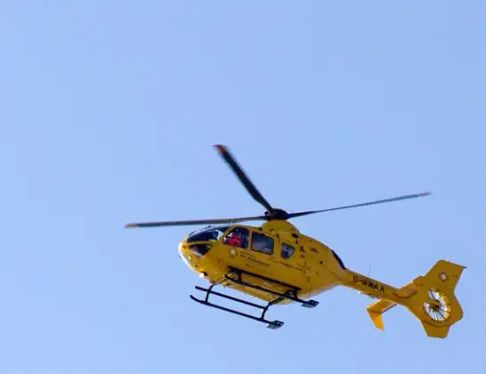
Helicopter: G-NWAA
The helicopter G-NWAA is used as a air ambulance helicopter. The main purpose of this aircraft is to transport a Mobile Medical Team to an incident as quickly as possible, enabling the trauma doctor to provide immediate first aid on site. The aircraft is flying this flight as Air Ambulance Helicopter.
Photo: David P Howard
20 miles
1925 feet
115 mph
11 minutes
12:23
12:33

Route
Levensgarth Avenue, Lancashire12:33
Preston, Lancashire12:33
Broughton, Lancashire12:31
Preston, Lancashire12:29
Samlesbury, Lancashire12:28
South Ribble, Lancashire12:27
Mellor, Lancashire12:27
Blackburn, Blackburn with Darwen12:25
Rishton, Lancashire12:25
Stanhill, Lancashire12:24
Church, Lancashire12:24
Brox Heights Lane, Lancashire12:23
Live flights
Today
Flights Broughton
Police Helicopter to Broughton, Fulmar Avenue22 Jun 15:01
Police Helicopter to Broughton, Greenacres22 Jun 13:53
Flights Accrington
Police Helicopter to Accrington, Royds Avenue27 Mar 14:01
Police Helicopter to Accrington, Oak Street27 Mar 13:35
Helicopter flights on your website?
You can easily display helicopter flights on your own website. Use the embed code.
