Air Ambulance Helicopter to Goole, Swinefleet Road
Sunday, 12 April 2026 | 11:28 | From Breighton Airfield
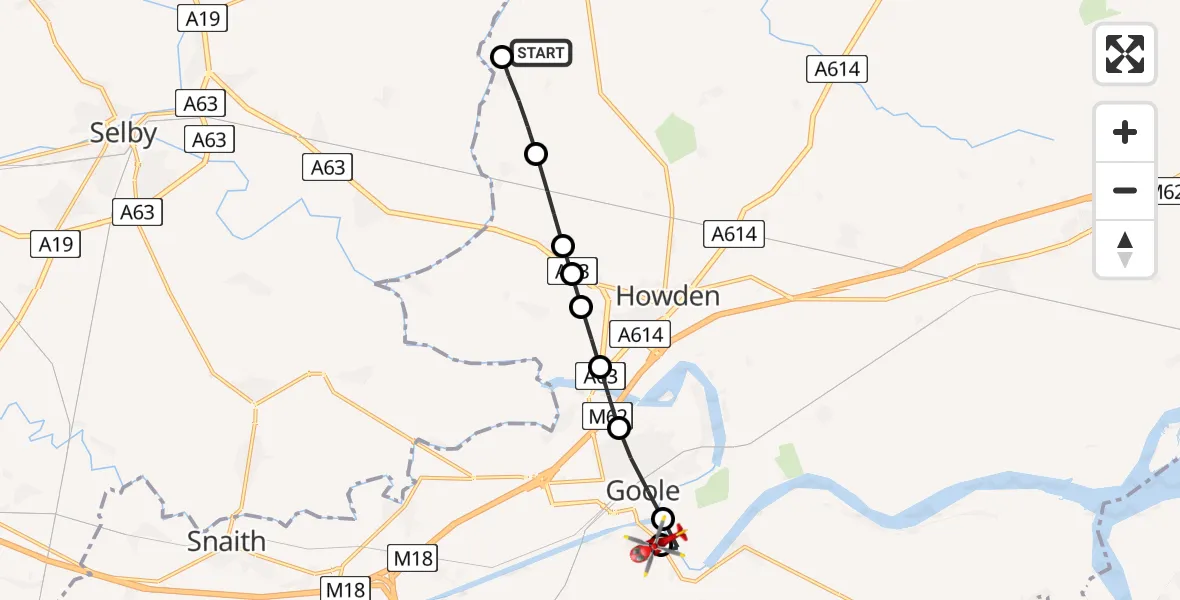
On Sunday, 12 April 2026 at 11:28, a Air Ambulance Helicopter departed from Breighton Airfield to Goole. It was the Air Ambulance Helicopter with registration number G-YORX. The flight lasted 6 minutes. During that period, the aircraft travelled 9 miles at an average speed of 94 miles per hour at a maximum altitude of 1225 feet.
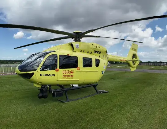
Helicopter: G-YORX
The helicopter G-YORX is used as a air ambulance helicopter. The main purpose of this aircraft is to transport a Mobile Medical Team to an incident as quickly as possible, enabling the trauma doctor to provide immediate first aid on site. The aircraft is flying this flight as Air Ambulance Helicopter.
Photo: Arollin96227
10 miles
1225 feet
94 mph
6 minutes
11:28
11:34

Route
Swinefleet Road, East Riding of Yorkshire11:34
Goole, East Riding of Yorkshire11:33
Old Goole, East Riding of Yorkshire11:33
Goole, East Riding of Yorkshire11:32
Howden, East Riding of Yorkshire11:31
Asselby, East Riding of Yorkshire11:31
Howden, East Riding of Yorkshire11:31
Asselby, East Riding of Yorkshire11:30
Wressle, East Riding of Yorkshire11:30
Breighton, East Riding of Yorkshire11:29
Sand Lane, East Riding of Yorkshire11:28
Live flights
Today
Police Helicopter to Kelvin18:10:51
Flights Goole
Air Ambulance Helicopter to Hull Royal Infirmary12 Apr 10:31
Air Ambulance Helicopter to Goole, Kent Road12 Apr 09:45
Air Ambulance Helicopter to Goole, Kent Road12 Apr 09:33
Helicopter flights on your website?
You can easily display helicopter flights on your own website. Use the embed code.
