Air Ambulance Helicopter to Streatham, Streatham Common North
Saturday, 11 April 2026 | 12:05 | From Royal London Hospital
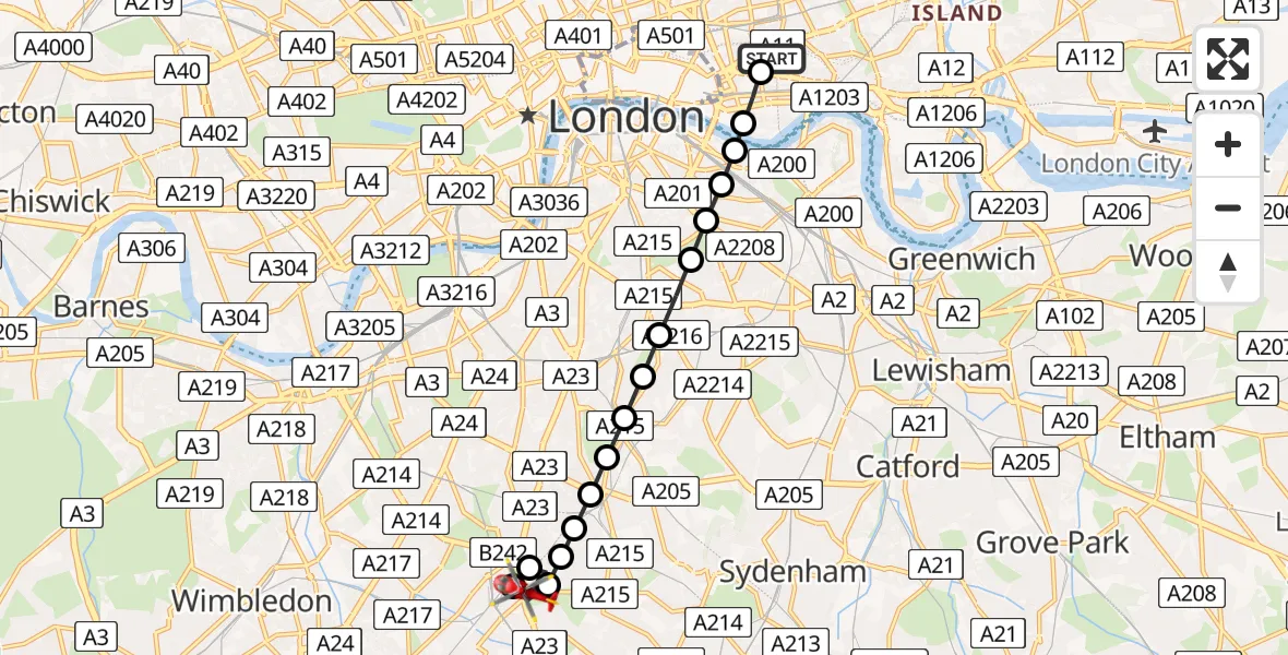
On Saturday, 11 April 2026 at 12:05, a Air Ambulance Helicopter departed from Royal London Hospital to Streatham. It was the Air Ambulance Helicopter with registration number G-LAAA. The flight lasted 10 minutes. During that period, the aircraft travelled 9 miles at an average speed of 56 miles per hour at a maximum altitude of 1400 feet.
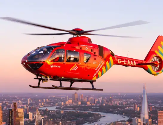
Helicopter: G-LAAA
The helicopter G-LAAA is used as a air ambulance helicopter. The main purpose of this aircraft is to transport a Mobile Medical Team to an incident as quickly as possible, enabling the trauma doctor to provide immediate first aid on site. The aircraft is flying this flight as Air Ambulance Helicopter.
Photo: Ton Snoei
10 miles
1400 feet
56 mph
11 minutes
12:05
12:15

Route
Streatham, Lambeth12:15
Streatham Common North, Greater London - Lambeth12:13
Streatham, Lambeth12:12
Furzedown, Lambeth12:11
Streatham, Lambeth12:11
Streatham Hill, Lambeth12:11
West Norwood, Lambeth12:10
Tulse Hill, Lambeth12:10
Herne Hill, Lambeth12:10
Dulwich Village, Lambeth12:10
Loughborough Junction, Lambeth12:09
Kings College London Hospital, London12:09
Peckham, Southwark12:09
Old Kent Road, Southwark12:08
The Borough, Southwark12:08
Bermondsey, Southwark12:08
Bermondsey, Tower Hamlets12:08
Whitechapel, Tower Hamlets12:07
Royal London Hospital, London12:06
Royal London Hospital, London12:05
Today
Flights Streatham
Air Ambulance Helicopter to St Georges Hospital28 Apr 16:38
Air Ambulance Helicopter to St Georges Hospital11 Apr 12:37
Helicopter flights on your website?
You can easily display helicopter flights on your own website. Use the embed code.
