Air Ambulance Helicopter to Harefield Hospital
Saturday, 11 April 2026 | 10:31 | From Great Gaddesden
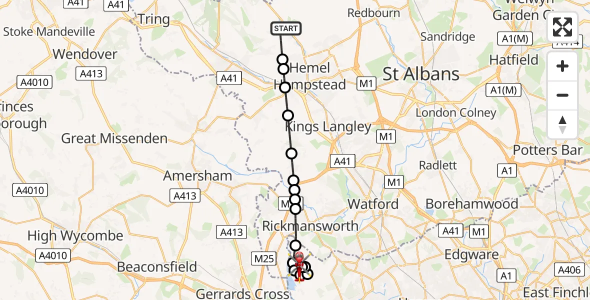
On Saturday, 11 April 2026 at 10:31, a Air Ambulance Helicopter departed from Great Gaddesden to Harefield Hospital. It was the Air Ambulance Helicopter with registration number G-EHAT. The flight lasted 10 minutes. During that period, the aircraft travelled 15 miles at an average speed of 86 miles per hour at a maximum altitude of 1475 feet.
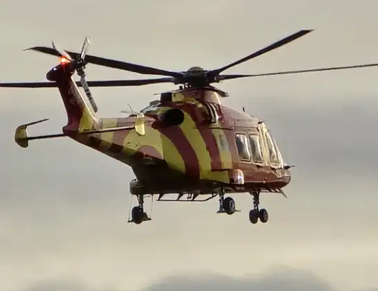
Helicopter: G-EHAT
The helicopter G-EHAT is used as a air ambulance helicopter. The main purpose of this aircraft is to transport a Mobile Medical Team to an incident as quickly as possible, enabling the trauma doctor to provide immediate first aid on site. The aircraft is flying this flight as Air Ambulance Helicopter.
Photo: By Steve Knight
15 miles
1475 feet
86 mph
11 minutes
10:31
10:41

Route
Harefield Hospital, Harefield10:41
Harefield Hospital, Harefield10:41
Harefield Hospital, Harefield10:39
Harefield Hospital Heliport, Uxbridge, Greater London10:39
Hillingdon, Hillingdon10:38
Harefield, Hillingdon10:38
Harefield Hospital Heliport, Uxbridge, Greater London10:38
Parkwood Farm Kennels, Hillingdon10:38
Hillingdon, Hillingdon10:37
Rickmansworth, Hertfordshire10:36
Chorleywood, Hertfordshire10:36
Sarratt, Hertfordshire10:36
New Model Farm Airstrip, Rickmansworth, Hertfordshire10:35
Sarratt, Hertfordshire10:35
Chipperfield, Hertfordshire10:34
Felden, Hertfordshire10:33
Bourne End, Hertfordshire10:32
Piccotts End, Hertfordshire10:32
Leighton Buzzard Road, Hertfordshire10:31
Live flights
Coastguard Helicopter on its way from Inner Seas11 Apr 23:49
Today
Coastguard Helicopter to Inner Seas11 Apr 22:20
Police Helicopter to Harborough, Sulby Road11 Apr 22:19
Police Helicopter to East Ardsley, Stoney Lane11 Apr 22:12
Police Helicopter to Birmingham Airport11 Apr 22:06
Coastguard Helicopter to Inverness Airport11 Apr 22:04
Coastguard Helicopter to Stornoway Airport11 Apr 22:02
Coastguard Helicopter to Inner Seas11 Apr 21:44
Helicopter flights on your website?
You can easily display helicopter flights on your own website. Use the embed code.
