Police Helicopter to Dunning
Friday, 10 April 2026 | 17:42 | From Fankerton
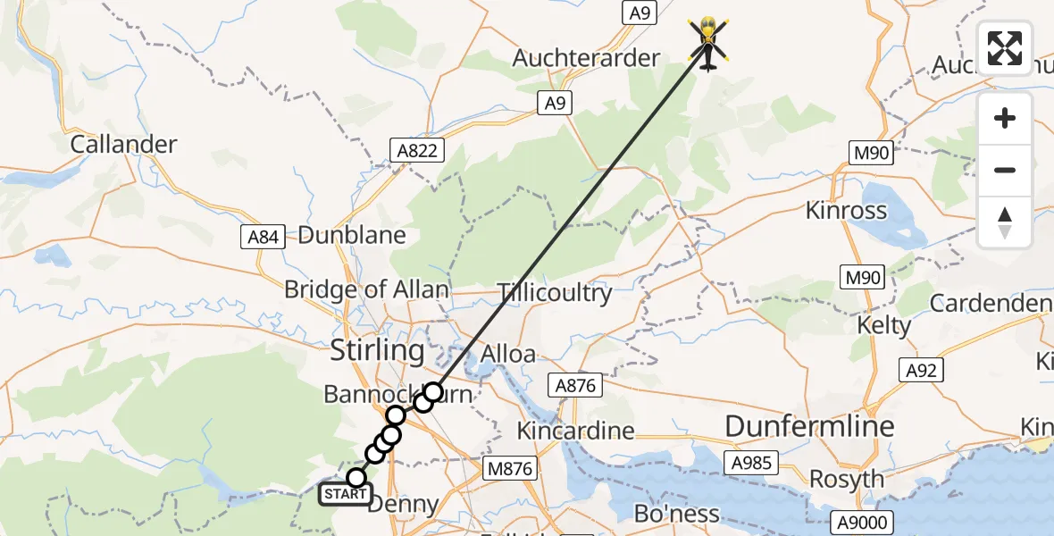
On Friday, 10 April 2026 at 17:42, a Police Helicopter departed from Fankerton to Dunning. It was the Police Helicopter with registration number G-BZRS. The flight lasted 10 minutes. During that period, the aircraft travelled 25 miles at an average speed of 149 miles per hour at a maximum altitude of 3150 feet.
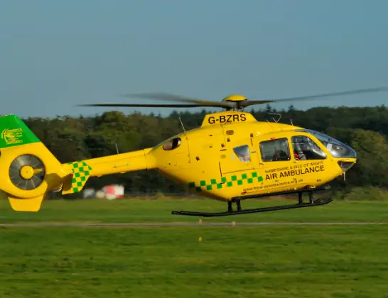
Helicopter: G-BZRS
The helicopter G-BZRS is used by the British police. The helicopter is deployed in pursuits, missing persons cases and other incidents where a helicopter provides added value.
Photo: NMOS332
25 miles
3150 feet
149 mph
10 minutes
17:42
17:52

Route
Dunning, Perth and Kinross17:52
Cowie, Stirling17:44
Bannockburn, Stirling17:44
Plean, Stirling17:44
Bannockburn, Stirling17:43
Stirling, Stirling17:43
Whins of Milton, Stirling17:43
Falkirk, Falkirk17:42
B818, Falkirk17:42
Live flights
Today
Flights Dunning
Police Helicopter to Linlithgow, M928 Jun 14:14
Police Helicopter to Scone, Coronation Road8 Jun 18:49
Police Helicopter to Dunning, B80628 Jun 18:45
Police Helicopter to Dunning, B93427 May 18:59
Police Helicopter to Dunning13 May 20:22
Police Helicopter to Scone8 May 17:09
Police Helicopter to Dunning23 Apr 14:12
Police Helicopter to Perth17 Apr 17:52
Police Helicopter to Dunning, U2917 Apr 17:40
Police Helicopter to Dunning10 Apr 17:42
Flights Fankerton
Police Helicopter to Fankerton, B81823 Apr 14:00
Police Helicopter to Dunning10 Apr 17:42
Police Helicopter to Fankerton, B8187 Apr 15:57
Helicopter flights on your website?
You can easily display helicopter flights on your own website. Use the embed code.
