Air Ambulance Helicopter to Axbridge, Compton Lane
Friday, 10 April 2026 | 16:23 | From Berrow
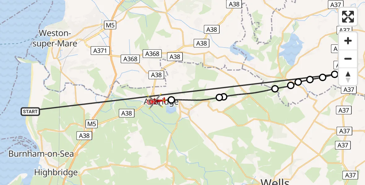
On Friday, 10 April 2026 at 16:23, a Air Ambulance Helicopter departed from Berrow to Axbridge. It was the Air Ambulance Helicopter with registration number G-WLTS. The flight lasted 16 minutes. During that period, the aircraft travelled 32 miles at an average speed of 122 miles per hour at a maximum altitude of 1525 feet.
Helicopter: G-WLTS
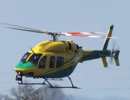
The helicopter G-WLTS is used as a air ambulance helicopter. The main purpose of this aircraft is to transport a Mobile Medical Team to an incident as quickly as possible, enabling the trauma doctor to provide immediate first aid on site. The aircraft is flying this flight as Air Ambulance Helicopter.
Photo: James
32 miles
1525 feet
122 mph
16 minutes
16:23
16:38

Route
Compton Lane, Somerset16:38
Axbridge, Somerset16:38
Cheddar, Somerset16:35
Warren Farm Airstrip16:35
Priddy, Somerset16:32
Bristol, Bath and North East Somerset16:31
East Harptree, Bath and North East Somerset16:31
West Harptree, Bath and North East Somerset16:30
Bristol, Bath and North East Somerset16:30
Cameley Road, Bath and North East Somerset16:29
Berrow, Somerset16:23
Live flights
Today
Flights Axbridge
Flights Berrow
Air Ambulance Helicopter to Forest of Dean, M5014 Jun 10:01
Helicopter flights on your website?
You can easily display helicopter flights on your own website. Use the embed code.
