Air Ambulance Helicopter to Ferniegair, Riccarton Path
Friday, 10 April 2026 | 13:24 | From Glasgow Airport
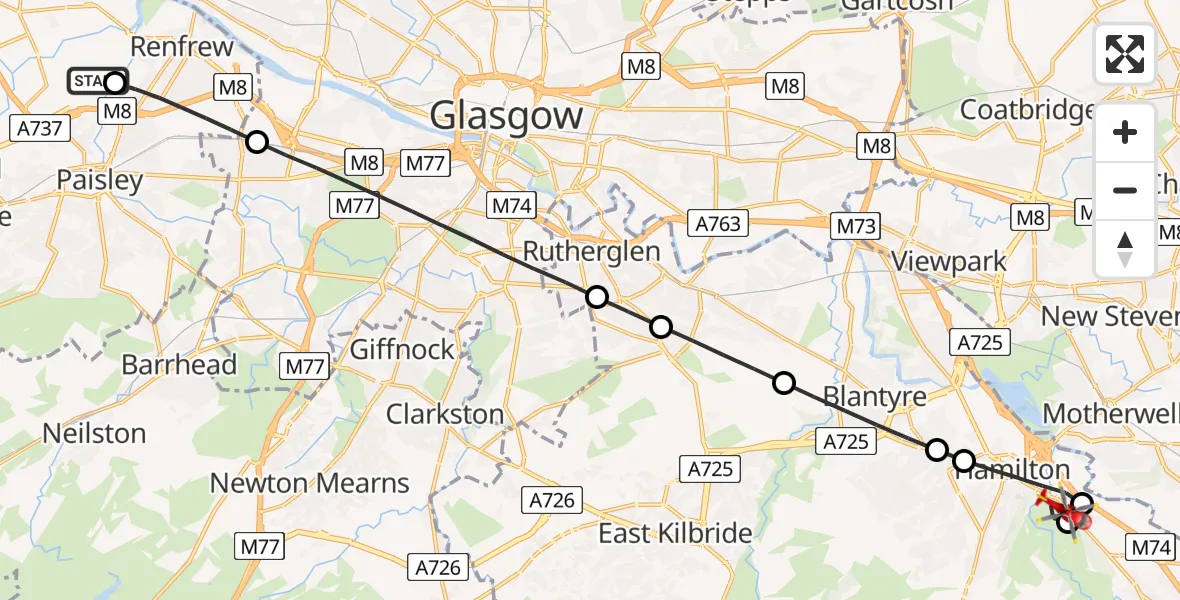
On Friday, 10 April 2026 at 13:24, a Air Ambulance Helicopter departed from Glasgow Airport to Ferniegair. It was the Air Ambulance Helicopter with registration number G-ISAS. The flight lasted 10 minutes. During that period, the aircraft travelled 19 miles at an average speed of 112 miles per hour at a maximum altitude of 1500 feet.
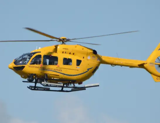
Helicopter: G-ISAS
The helicopter G-ISAS is used as a air ambulance helicopter. The main purpose of this aircraft is to transport a Mobile Medical Team to an incident as quickly as possible, enabling the trauma doctor to provide immediate first aid on site. The aircraft is flying this flight as Air Ambulance Helicopter.
Photo: Jonathan Payne
19 miles
1500 feet
112 mph
11 minutes
13:24
13:34

Route
Riccarton Path, South Lanarkshire13:34
Ferniegair, South Lanarkshire13:33
Allanton, South Lanarkshire13:32
Hamilton, South Lanarkshire13:31
Bothwell, South Lanarkshire13:31
Blantyre, South Lanarkshire13:30
Cambuslang, South Lanarkshire13:29
Rutherglen, South Lanarkshire13:28
Glasgow, Glasgow City13:25
Renfrew, Renfrewshire13:24
Abbotsinch Road, Renfrewshire13:24
Live flights
Police Helicopter on its way from Dundrod12 Jul 22:50
Today
Police Helicopter to East Ardsley, Stoney Lane12 Jul 23:51
Police Helicopter to Birmingham Airport12 Jul 23:46
Air Ambulance Helicopter to Newlands of Culloden12 Jul 23:24
Flights Ferniegair
Air Ambulance Helicopter to Glasgow Airport10 Apr 14:50
Helicopter flights on your website?
You can easily display helicopter flights on your own website. Use the embed code.
