Air Ambulance Helicopter to Royal Preston
Thursday, 9 April 2026 | 16:51 | From Brockhall Village
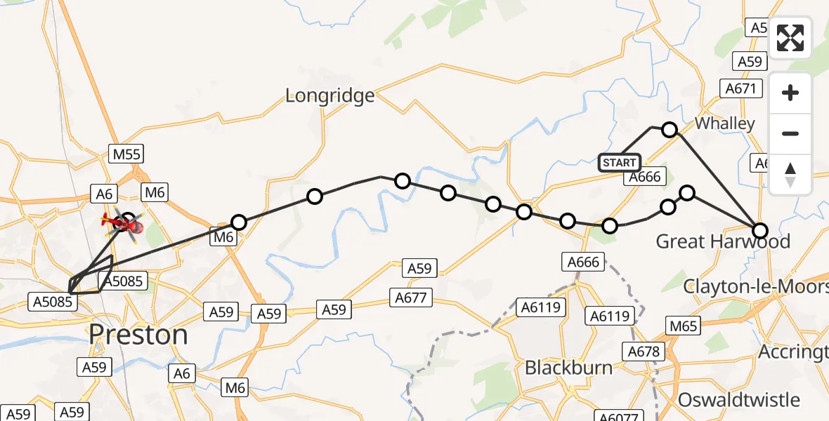
On Thursday, 9 April 2026 at 16:51, a Air Ambulance Helicopter departed from Brockhall Village to Royal Preston. It was the Air Ambulance Helicopter with registration number G-NWEM. The flight lasted 11 minutes. During that period, the aircraft travelled 24 miles at an average speed of 127 miles per hour at a maximum altitude of 2650 feet.
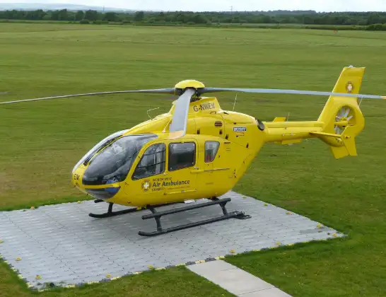
Helicopter: G-NWEM
The helicopter G-NWEM is used as a air ambulance helicopter. The main purpose of this aircraft is to transport a Mobile Medical Team to an incident as quickly as possible, enabling the trauma doctor to provide immediate first aid on site. The aircraft is flying this flight as Air Ambulance Helicopter.
Photo: Craig Sunter
25 miles
2650 feet
127 mph
12 minutes
16:51
17:02

Route
Royal Preston, Preston17:02
Preston, Lancashire17:02
Royal Preston, Preston17:01
Preston, Lancashire16:58
Grimsargh, Lancashire16:57
Longridge, Lancashire16:56
Ribchester, Lancashire16:55
Ribble Valley, Lancashire16:55
Copster Green, Lancashire16:54
Salesbury, Lancashire16:54
Wilpshire, Lancashire16:53
Langho, Lancashire16:53
Billington, Lancashire16:52
Clayton-le-Moors, Lancashire16:52
Billington, Lancashire16:52
Old Langho Road, Lancashire16:51
Live flights
Today
Helicopter flights on your website?
You can easily display helicopter flights on your own website. Use the embed code.
