Air Ambulance Helicopter to East Cowton, Northallerton Road
Thursday, 9 April 2026 | 18:43 | From Longnewton
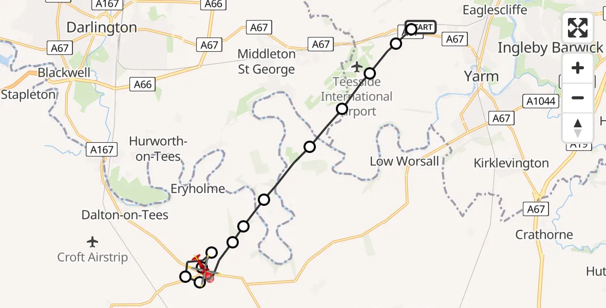
On Thursday, 9 April 2026 at 18:43, a Air Ambulance Helicopter departed from Longnewton to East Cowton. It was the Air Ambulance Helicopter with registration number G-NHAE. The flight lasted 5 minutes. During that period, the aircraft travelled 9 miles at an average speed of 105 miles per hour at a maximum altitude of 975 feet.
Helicopter: G-NHAE
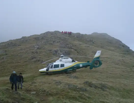
The helicopter G-NHAE is used as a air ambulance helicopter. The main purpose of this aircraft is to transport a Mobile Medical Team to an incident as quickly as possible, enabling the trauma doctor to provide immediate first aid on site. The aircraft is flying this flight as Air Ambulance Helicopter.
Photo: Michael Earnshaw
9 miles
975 feet
105 mph
6 minutes
18:43
18:48

Route
Northallerton Road, North Yorkshire18:48
East Cowton, North Yorkshire18:48
Great Smeaton, North Yorkshire18:48
East Cowton, North Yorkshire18:47
Dalton-on-Tees, North Yorkshire18:47
Great Smeaton, North Yorkshire18:46
Eryholme, North Yorkshire18:46
Neasham, Darlington18:46
Over Dinsdale, North Yorkshire18:45
Aislaby, Stockton-on-Tees18:45
Teesside International Airport, Darlington, Durham18:44
Longnewton, Stockton-on-Tees18:44
Egglescliffe, Stockton-on-Tees18:43
Longnewton, Stockton-on-Tees18:43
Live flights
Today
Flights Longnewton
Helicopter flights on your website?
You can easily display helicopter flights on your own website. Use the embed code.
