Air Ambulance Helicopter to Kettering, Lake Avenue
Thursday, 9 April 2026 | 14:50 | From Coventry Airport
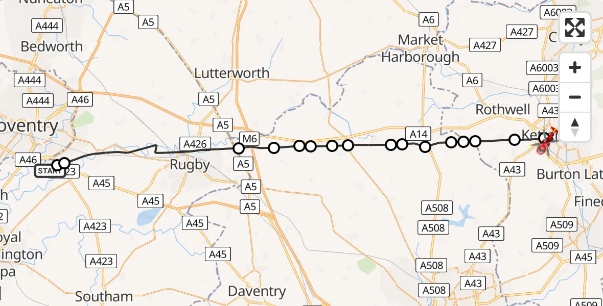
On Thursday, 9 April 2026 at 14:50, a Air Ambulance Helicopter departed from Coventry Airport to Kettering. It was the Air Ambulance Helicopter with registration number G-WNAS. The flight lasted 12 minutes. During that period, the aircraft travelled 34 miles at an average speed of 163 miles per hour at a maximum altitude of 1275 feet.
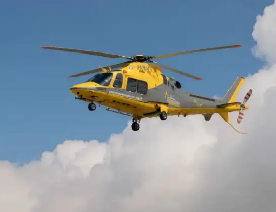
Helicopter: G-WNAS
The helicopter G-WNAS is used as an ambulance helicopter. The helicopter is equipped with a stretcher for transporting patients. The helicopter is often used to transport to hospitals.
Photo: Tony Melony
34 miles
1275 feet
163 mph
13 minutes
14:50
15:03

Route
Lake Avenue, North Northamptonshire15:03
Kettering, North Northamptonshire15:01
Thorpe Malsor, North Northamptonshire15:00
Loddington, North Northamptonshire14:59
RAF Harrington, Northampton, Northamptonshire14:59
Draughton, West Northamptonshire14:59
Maidwell, West Northamptonshire14:59
Haselbech, West Northamptonshire14:58
Northampton, West Northamptonshire14:58
Naseby, West Northamptonshire14:57
Cold Ashby, West Northamptonshire14:57
Elkington, West Northamptonshire14:56
Yelvertoft, West Northamptonshire14:56
Clay Coton, West Northamptonshire14:55
Lilbourne, West Northamptonshire14:55
Rugby, Warwickshire14:51
Tollbar End, Warwickshire14:51
Warwick, West Midlands - Warwickshire14:50
Live flights
Today
Flights Kettering
Air Ambulance Helicopter to Coventry Airport19 May 20:55
Air Ambulance Helicopter to Coventry Airport9 Apr 16:36
Air Ambulance Helicopter to Coventry Airport6 Apr 14:16
Air Ambulance Helicopter to Sywell Aerodrome26 Mar 10:58
Helicopter flights on your website?
You can easily display helicopter flights on your own website. Use the embed code.
