Air Ambulance Helicopter to Bushley, M50
Thursday, 9 April 2026 | 13:55 | From Quatford
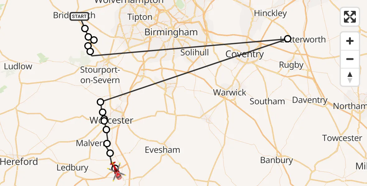
On Thursday, 9 April 2026 at 13:55, a Air Ambulance Helicopter departed from Quatford to Bushley. It was the Air Ambulance Helicopter with registration number G-SCAA. The flight lasted 16 minutes. During that period, the aircraft travelled 116 miles at an average speed of 426 miles per hour at a maximum altitude of 1425 feet.
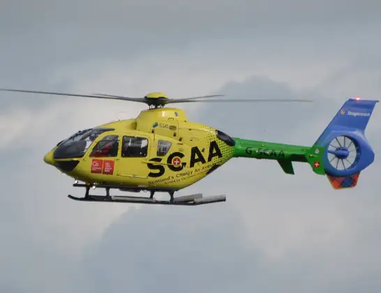
Helicopter: G-SCAA
The helicopter G-SCAA is used as a air ambulance helicopter. The main purpose of this aircraft is to transport a Mobile Medical Team to an incident as quickly as possible, enabling the trauma doctor to provide immediate first aid on site. The aircraft is flying this flight as Air Ambulance Helicopter.
Photo: Jonathan Payne
117 miles
1425 feet
426 mph
17 minutes
13:55
14:11

Route
M50, West Midlands - Worcestershire14:11
Queenhill, Worcestershire14:11
Upton-upon-Severn, Worcestershire14:09
Guarlford, Worcestershire14:08
Powick, Worcestershire14:07
Rushwick, Worcestershire14:06
Crown East, Worcestershire14:06
Lower Broadheath, Worcestershire14:05
Grimley, Worcestershire14:04
Rugby, Warwickshire14:02
Wyre Forest, Worcestershire13:59
Upper Arley, Worcestershire13:58
Romsley, Shropshire13:57
Alveley, Shropshire13:57
Quatt, Shropshire13:56
A454, West Midlands - Shropshire13:55
Live flights
Today
Flights Bushley
Air Ambulance Helicopter to Ryton20 Jun 17:17
Police Helicopter to Tewkesbury, Cheltenham Road22 Apr 10:29
Air Ambulance Helicopter to Bushley, M509 Apr 13:55
Flights Quatford
Air Ambulance Helicopter to Bushley, M509 Apr 13:55
Helicopter flights on your website?
You can easily display helicopter flights on your own website. Use the embed code.
