Air Ambulance Helicopter to University Hospital Southampton, Seymour Road
Thursday, 9 April 2026 | 12:05 | From Blackmoor
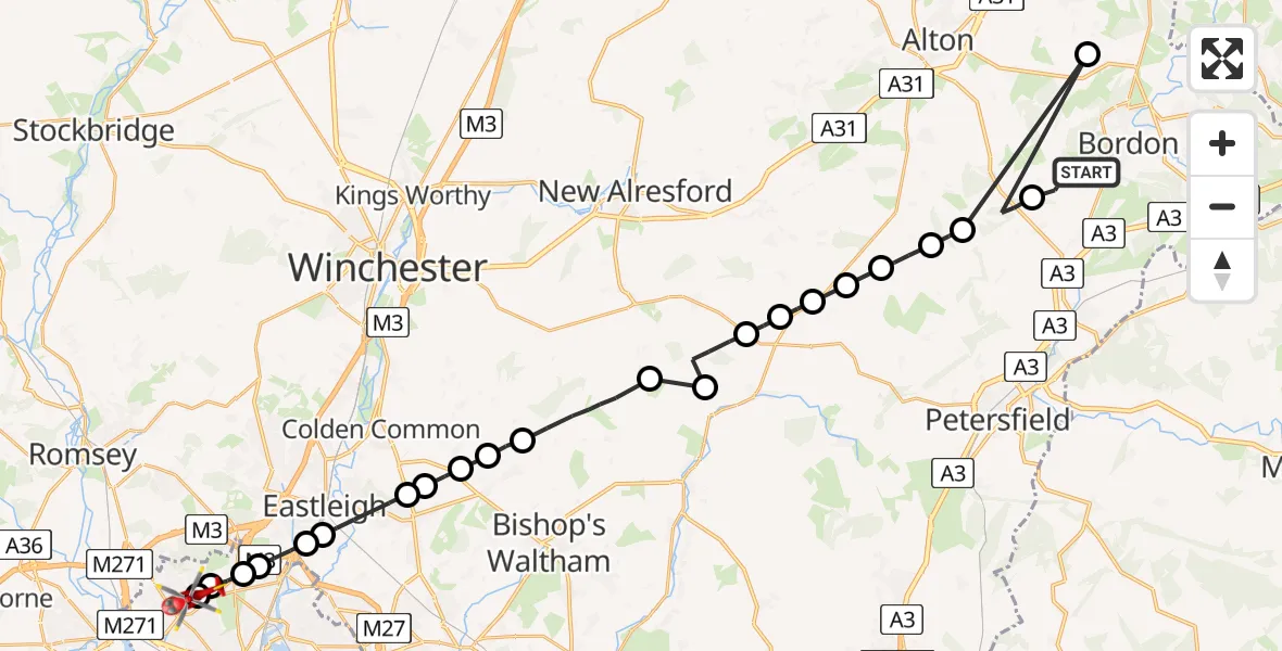
On Thursday, 9 April 2026 at 12:05, a Air Ambulance Helicopter departed from Blackmoor to University Hospital Southampton. It was the Air Ambulance Helicopter with registration number G-HIOW. The flight lasted 13 minutes. During that period, the aircraft travelled 37 miles at an average speed of 171 miles per hour at a maximum altitude of 1475 feet.
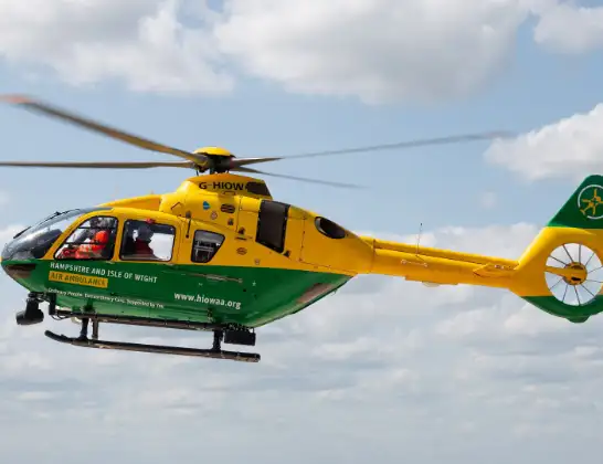
Helicopter: G-HIOW
The helicopter G-HIOW is used as a air ambulance helicopter. The main purpose of this aircraft is to transport a Mobile Medical Team to an incident as quickly as possible, enabling the trauma doctor to provide immediate first aid on site. The aircraft is flying this flight as Air Ambulance Helicopter.
Photo: JF2608
38 miles
1475 feet
171 mph
14 minutes
12:05
12:18

Route
University Hospital Southampton, Southampton12:18
Seymour Road, Southampton12:18
Hollybrook, Southampton12:17
Glen Eyre, Southampton12:17
Chilworth, Hampshire12:17
Eastleigh, Hampshire12:16
Southampton Airport, Southampton12:16
Eastleigh, Hampshire12:14
Winchester, Hampshire12:14
Lower Upham, Hampshire12:14
Roughay Farm Airfield, Southampton, Hampshire12:13
Upham, Hampshire12:13
Winchester, Hampshire12:11
Warnford, Hampshire12:11
Winchester, Hampshire12:10
West Tisted, Hampshire12:09
West Tisted Airfield12:09
East Tisted, Hampshire12:08
Colemore Farm Airfield, Faringdon, Oxfordshire12:08
East Hampshire, Hampshire12:07
Newton Valence, Hampshire12:07
Binsted, Hampshire12:07
Empshott, Hampshire12:06
Drift Road, Hampshire12:05
Live flights
Today
Flights Blackmoor
Helicopter flights on your website?
You can easily display helicopter flights on your own website. Use the embed code.
