Air Ambulance Helicopter to Metropolitan Police Air Support Unit Lippitts Hill
Wednesday, 8 April 2026 | 19:11 | From Beckton
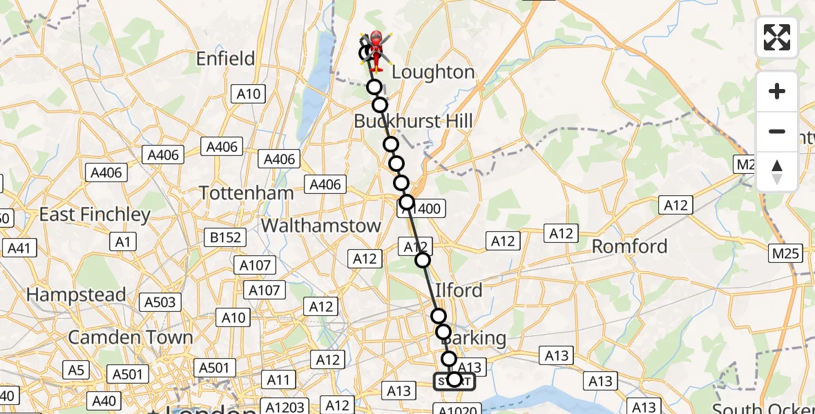
On Wednesday, 8 April 2026 at 19:11, a Air Ambulance Helicopter departed from Beckton to Metropolitan Police Air Support Unit Lippitts Hill. It was the Air Ambulance Helicopter with registration number G-LAAB. The flight lasted 11 minutes. During that period, the aircraft travelled 11 miles at an average speed of 61 miles per hour at a maximum altitude of 1025 feet.
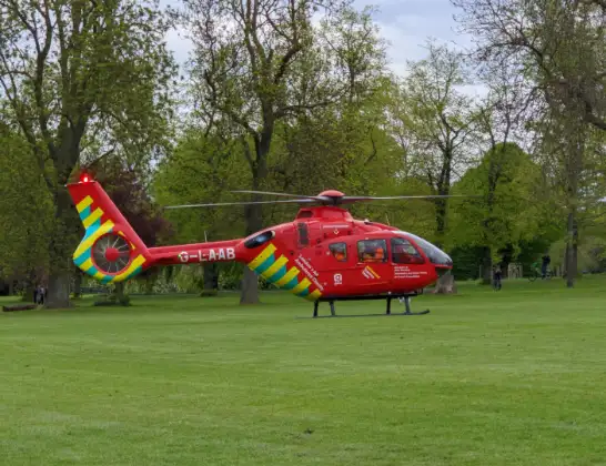
Helicopter: G-LAAB
The helicopter G-LAAB is used as a air ambulance helicopter. The main purpose of this aircraft is to transport a Mobile Medical Team to an incident as quickly as possible, enabling the trauma doctor to provide immediate first aid on site. The aircraft is flying this flight as Air Ambulance Helicopter.
Photo: Celsoazevedo
11 miles
1025 feet
61 mph
11 minutes
19:11
19:22

Route
Metropolitan Police Air Support Unit Lippitts Hill, Loughton, Essex19:22
Metropolitan Police Air Support Unit Lippitts Hill, Loughton, Essex19:21
Metropolitan Police Air Support Unit Lippitts Hill, Loughton, Essex19:21
Sewardstonebury, Essex19:20
Epping Forest, Essex19:19
Sewardstonebury, Essex19:19
Chingford, Waltham Forest19:18
Chingford, Redbridge19:18
Buckhurst Hill, Essex19:18
Woodford, Redbridge19:17
South Woodford, Redbridge19:17
Redbridge, Redbridge19:16
Little Ilford, Newham19:16
East Ham, Newham19:15
Flanders Road, Greater London - Newham19:15
East Ham, Newham19:11
Beckton, Greater London - Newham19:11
Live flights
Today
Flights Beckton
Air Ambulance Helicopter to Beckton16 Jun 17:47
Air Ambulance Helicopter to London Heliport30 May 17:02
Air Ambulance Helicopter to Beckton, Roman Road30 May 16:11
Air Ambulance Helicopter to Beckton8 Apr 18:50
Helicopter flights on your website?
You can easily display helicopter flights on your own website. Use the embed code.
