Air Ambulance Helicopter to Mistley, Clacton Road
Wednesday, 8 April 2026 | 15:52 | From Earls Colne Airfield
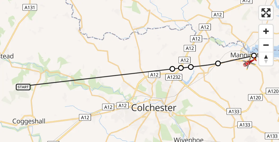
On Wednesday, 8 April 2026 at 15:52, a Air Ambulance Helicopter departed from Earls Colne Airfield to Mistley. It was the Air Ambulance Helicopter with registration number G-EHAT. The flight lasted 9 minutes. During that period, the aircraft travelled 18 miles at an average speed of 122 miles per hour at a maximum altitude of 975 feet.
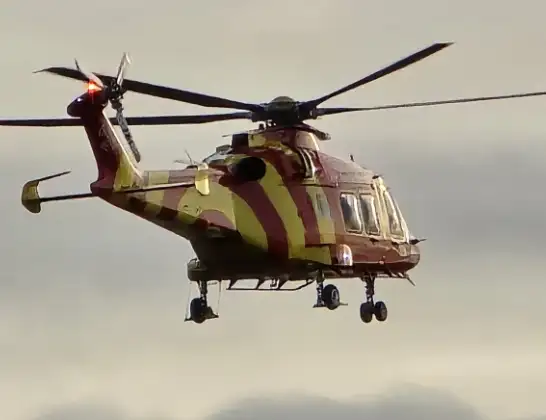
Helicopter: G-EHAT
The helicopter G-EHAT is used as a air ambulance helicopter. The main purpose of this aircraft is to transport a Mobile Medical Team to an incident as quickly as possible, enabling the trauma doctor to provide immediate first aid on site. The aircraft is flying this flight as Air Ambulance Helicopter.
Photo: By Steve Knight
18 miles
975 feet
122 mph
9 minutes
15:52
16:00

Route
Clacton Road, Essex16:00
Mistley, Essex15:59
Lawford, Essex15:58
Ardleigh, Essex15:57
Tendring, Essex15:57
Lodge Lane, Essex15:57
Earls Colne Airfield, Colchester, Essex15:52
Live flights
Today
Police Aircraft to East Midlands Airport7 Jul 22:05
Flights Mistley
Air Ambulance Helicopter to Mistley18 Jun 10:31
Helicopter flights on your website?
You can easily display helicopter flights on your own website. Use the embed code.
