Air Ambulance Helicopter to Abingdon, Twelve Acre Drive
Wednesday, 8 April 2026 | 9:45 | From RAF Benson
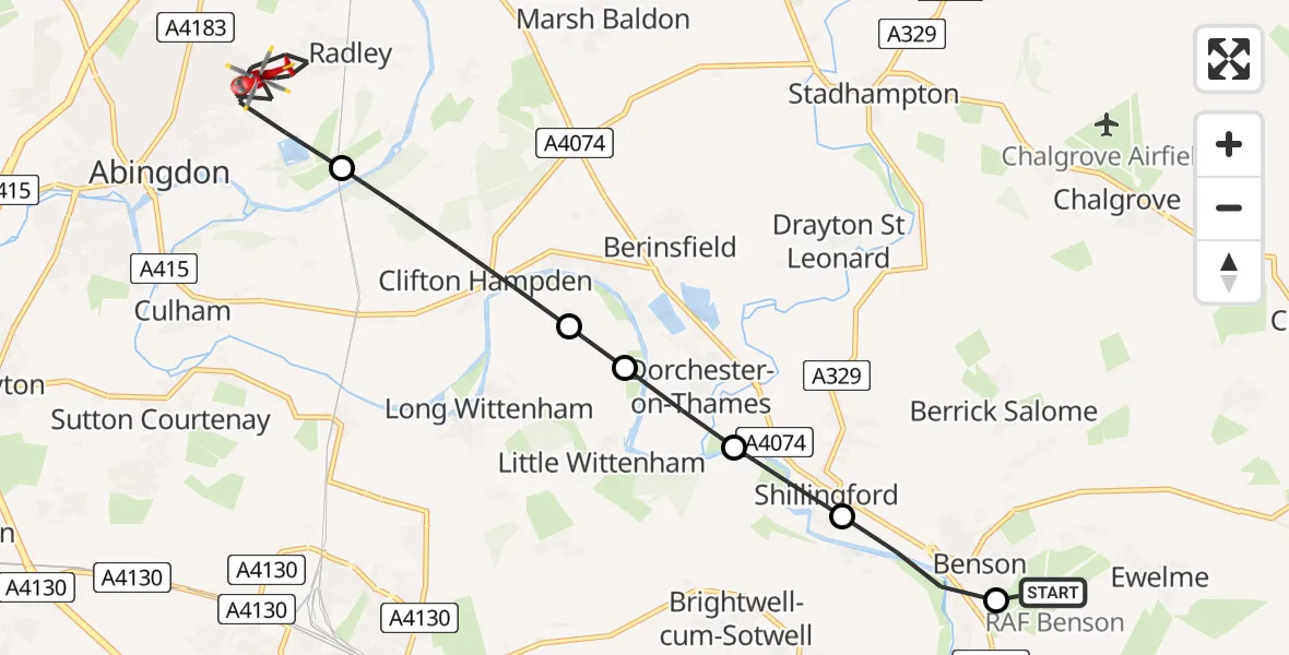
On Wednesday, 8 April 2026 at 9:45, a Air Ambulance Helicopter departed from RAF Benson to Abingdon. It was the Air Ambulance Helicopter with registration number G-TVLY. The flight lasted 6 minutes. During that period, the aircraft travelled 11 miles at an average speed of 101 miles per hour at a maximum altitude of 775 feet.
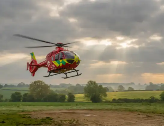
Helicopter: G-TVLY
The helicopter G-TVLY is used as a air ambulance helicopter. The main purpose of this aircraft is to transport a Mobile Medical Team to an incident as quickly as possible, enabling the trauma doctor to provide immediate first aid on site. The aircraft is flying this flight as Air Ambulance Helicopter.
Photo: Tony Melony
11 miles
775 feet
101 mph
7 minutes
09:45
09:51

Route
Twelve Acre Drive, Oxfordshire09:51
Abingdon, Oxfordshire09:48
Clifton Hampden, Oxfordshire09:47
Long Wittenham, Oxfordshire09:47
Dorchester-on-Thames, Oxfordshire09:47
Shillingford, Oxfordshire09:46
Benson, Oxfordshire09:45
RAF Benson, Wallingford, Oxfordshire09:45
Live flights
Today
Flights Abingdon
Air Ambulance Helicopter to RAF Benson8 Apr 10:57
Helicopter flights on your website?
You can easily display helicopter flights on your own website. Use the embed code.
