Air Ambulance Helicopter to Crosshouse, Kilmarnock Road
Tuesday, 7 April 2026 | 22:48 | From Inner Seas
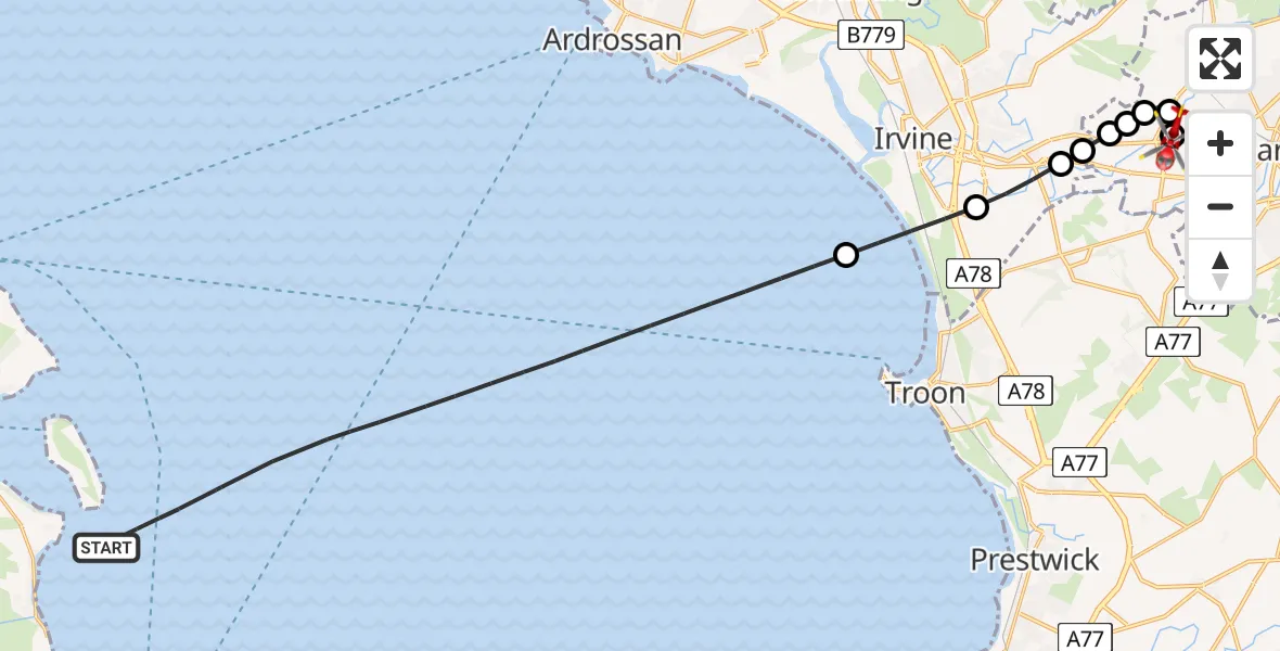
On Tuesday, 7 April 2026 at 22:48, a Air Ambulance Helicopter departed from Inner Seas to Crosshouse. It was the Air Ambulance Helicopter with registration number G-ISAS. The flight lasted 11 minutes. During that period, the aircraft travelled 22 miles at an average speed of 127 miles per hour at a maximum altitude of 1850 feet.
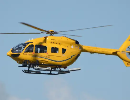
Helicopter: G-ISAS
The helicopter G-ISAS is used as a air ambulance helicopter. The main purpose of this aircraft is to transport a Mobile Medical Team to an incident as quickly as possible, enabling the trauma doctor to provide immediate first aid on site. The aircraft is flying this flight as Air Ambulance Helicopter.
Photo: Jonathan Payne
23 miles
1850 feet
127 mph
11 minutes
22:48
22:58

Route
Kilmarnock Road, East Ayrshire22:58
Crosshouse, East Ayrshire22:58
Knockentiber, East Ayrshire22:57
Knockentiber, North Ayrshire22:57
Knockentiber, East Ayrshire22:56
Crosshouse, East Ayrshire22:56
Springside, East Ayrshire22:56
Dreghorn, North Ayrshire22:56
Drybridge, North Ayrshire22:55
Irvine, North Ayrshire22:54
Inner Seas, 22:48
Live flights
Today
Flights Crosshouse
Helicopter flights on your website?
You can easily display helicopter flights on your own website. Use the embed code.
