Air Ambulance Helicopter to Stanhope
Monday, 6 April 2026 | 19:43 | From Culgaith
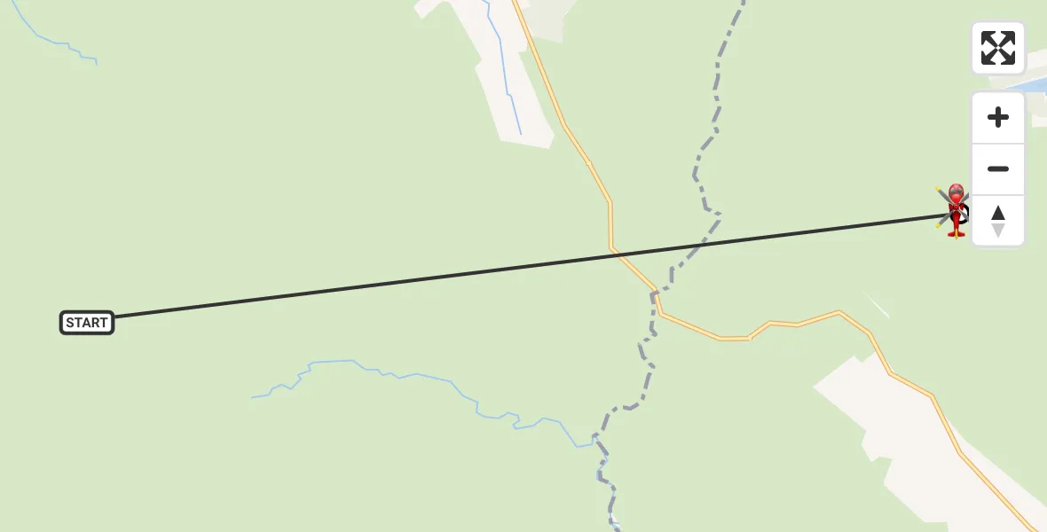
On Monday, 6 April 2026 at 19:43, a Air Ambulance Helicopter departed from Culgaith to Stanhope. It was the Air Ambulance Helicopter with registration number G-NHAE. The flight lasted 3 minutes. During that period, the aircraft travelled 8 miles at an average speed of 155 miles per hour at a maximum altitude of 2700 feet.
Helicopter: G-NHAE
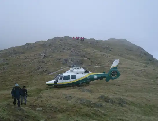
The helicopter G-NHAE is used as a air ambulance helicopter. The main purpose of this aircraft is to transport a Mobile Medical Team to an incident as quickly as possible, enabling the trauma doctor to provide immediate first aid on site. The aircraft is flying this flight as Air Ambulance Helicopter.
Photo: Michael Earnshaw
9 miles
2700 feet
155 mph
4 minutes
19:43
19:46

Route
Stanhope, County Durham19:46
Stanhope, County Durham19:46
Culgaith, Westmorland and Furness19:43
Today
Flights Stanhope
Police Helicopter to Consett15 Jun 13:49
Police Helicopter to Allenheads, B629515 Jun 13:42
Police Helicopter to Stanhope, A68915 Jun 13:38
Police Helicopter to Stanhope15 Jun 12:57
Air Ambulance Helicopter to Stanhope10 May 17:59
Police Helicopter to Durham, B653229 Apr 09:52
Flights Culgaith
Air Ambulance Helicopter to Culgaith12 Jul 10:33
Air Ambulance Helicopter to Alston Moor27 Jun 13:25
Air Ambulance Helicopter to Skirwith25 May 11:06
Air Ambulance Helicopter to Culgaith, B641221 May 13:28
Air Ambulance Helicopter to Stanhope10 May 17:59
Air Ambulance Helicopter to Bolton, Whyber Lane25 Apr 11:49
Air Ambulance Helicopter to Culgaith, B641224 Apr 19:18
Helicopter flights on your website?
You can easily display helicopter flights on your own website. Use the embed code.
