Air Ambulance Helicopter to Addiston Mains Farm Heliport
Monday, 6 April 2026 | 18:42 | From RIE Rooftop
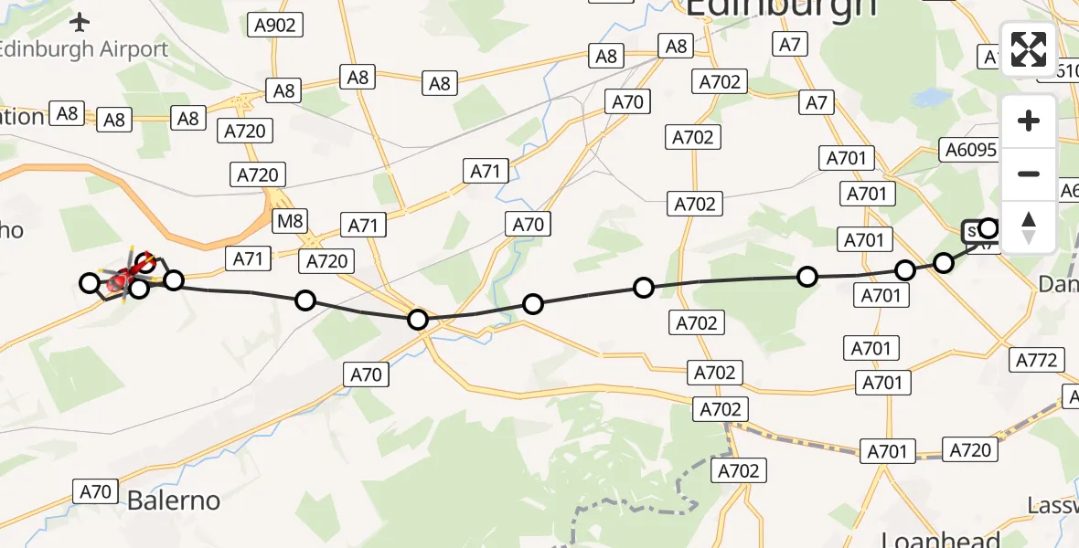
On Monday, 6 April 2026 at 18:42, a Air Ambulance Helicopter departed from RIE Rooftop to Addiston Mains Farm Heliport. It was the Air Ambulance Helicopter with registration number G-GSAS. The flight lasted 7 minutes. During that period, the aircraft travelled 10 miles at an average speed of 94 miles per hour at a maximum altitude of 900 feet.
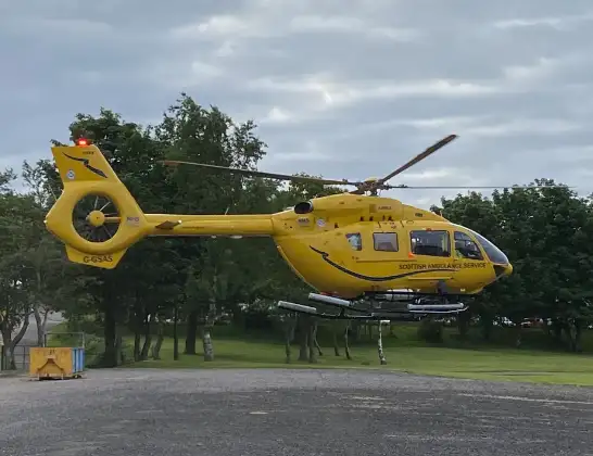
Helicopter: G-GSAS
The helicopter G-GSAS is used as a air ambulance helicopter. The main purpose of this aircraft is to transport a Mobile Medical Team to an incident as quickly as possible, enabling the trauma doctor to provide immediate first aid on site. The aircraft is flying this flight as Air Ambulance Helicopter.
Photo: Scanbus
11 miles
900 feet
94 mph
7 minutes
18:42
18:48

Route
Addiston Mains Farm Heliport, Riccarton, Edinburgh18:48
Addiston Mains Farm Heliport, Riccarton, Edinburgh18:48
Currie, City of Edinburgh18:47
Addiston Mains Farm Heliport, Riccarton, Edinburgh18:47
Ratho, City of Edinburgh18:47
Addiston Mains Farm Heliport, Riccarton, Edinburgh18:46
Currie, City of Edinburgh18:45
Baberton, City of Edinburgh18:45
Bonaly, City of Edinburgh18:44
Comiston, City of Edinburgh18:44
Braid Hills, City of Edinburgh18:43
Liberton and District, City of Edinburgh18:43
Gilmerton/Inch, City of Edinburgh18:42
Moredun, City of Edinburgh18:42
Little France Crescent, City of Edinburgh18:42
Live flights
Today
Air Ambulance Helicopter to Cardiff Heliport6 Apr 22:37
Police Helicopter to MOD St Athan6 Apr 22:18
Police Helicopter to Briton Ferry6 Apr 21:53
Police Helicopter to Skewen, Ormes Road6 Apr 21:48
Police Helicopter to Wrenthorpe, Stoney Lane6 Apr 21:42
Helicopter flights on your website?
You can easily display helicopter flights on your own website. Use the embed code.
