Air Ambulance Helicopter to Hungerford, Marsh Lane
Monday, 6 April 2026 | 16:16 | From Thruxton Aerodrome
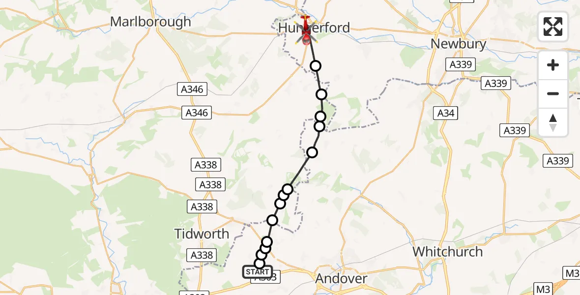
On Monday, 6 April 2026 at 16:16, a Air Ambulance Helicopter departed from Thruxton Aerodrome to Hungerford. It was the Air Ambulance Helicopter with registration number G-HIOW. The flight lasted 9 minutes. During that period, the aircraft travelled 17 miles at an average speed of 113 miles per hour at a maximum altitude of 1300 feet.
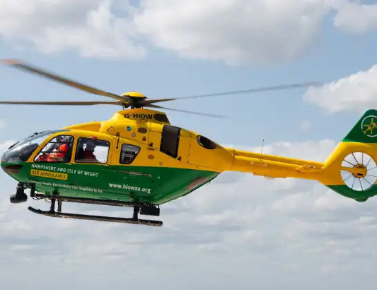
Helicopter: G-HIOW
The helicopter G-HIOW is used as a air ambulance helicopter. The main purpose of this aircraft is to transport a Mobile Medical Team to an incident as quickly as possible, enabling the trauma doctor to provide immediate first aid on site. The aircraft is flying this flight as Air Ambulance Helicopter.
Photo: JF2608
17 miles
1300 feet
113 mph
9 minutes
16:16
16:25

Route
Hungerford, West Berkshire16:25
Marsh Lane, West Berkshire16:24
Hungerford, West Berkshire16:22
Ham, Wiltshire16:21
Buttermere, Wiltshire16:21
Test Valley, Wiltshire16:20
Vernhams Dean, Hampshire16:20
Chute, Wiltshire16:19
Lower Chute, Wiltshire16:18
Chute Forest, Wiltshire16:18
Test Valley, Hampshire16:18
Appleshaw, Hampshire16:17
Faberstown, Hampshire16:17
Kimpton, Hampshire16:17
Fyfield, Hampshire16:16
Thruxton Hill, Hampshire16:16
Live flights
Today
Coastguard Helicopter to Solent Airport5 Jul 23:21
Air Ambulance Aircraft to RAF Lossiemouth5 Jul 23:17
Police Helicopter to Glasgow, Beech Avenue5 Jul 23:05
Police Aircraft to East Midlands Airport5 Jul 22:38
Air Ambulance Helicopter to North Sea5 Jul 22:14
Police Helicopter to Solihull, Centro Way5 Jul 22:09
Police Helicopter to Hawarden Airport5 Jul 21:47
Flights Hungerford
Air Ambulance Helicopter to RAF Benson18 May 10:24
Air Ambulance Helicopter to Burbage, A3386 Apr 17:08
Helicopter flights on your website?
You can easily display helicopter flights on your own website. Use the embed code.
