Air Ambulance Helicopter to Chepstow, Thornwell Road
Monday, 6 April 2026 | 14:47 | From Bristol Royal Infirmary
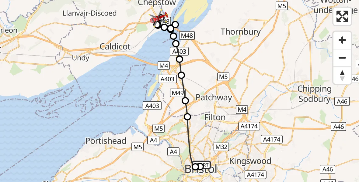
On Monday, 6 April 2026 at 14:47, a Air Ambulance Helicopter departed from Bristol Royal Infirmary to Chepstow. It was the Air Ambulance Helicopter with registration number G-GWAC. The flight lasted 28 minutes. During that period, the aircraft travelled 16 miles at an average speed of 35 miles per hour at a maximum altitude of 1125 feet.
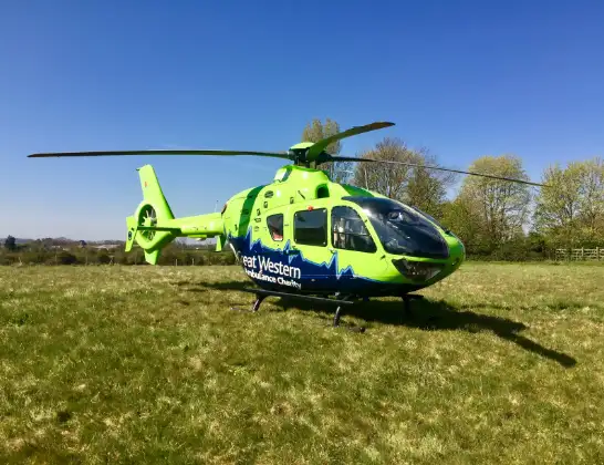
Helicopter: G-GWAC
The helicopter G-GWAC is used as a air ambulance helicopter. The main purpose of this aircraft is to transport a Mobile Medical Team to an incident as quickly as possible, enabling the trauma doctor to provide immediate first aid on site. The aircraft is flying this flight as Air Ambulance Helicopter.
Photo: Mojo0306
17 miles
1125 feet
35 mph
29 minutes
14:47
15:15

Route
Chepstow, Monmouthshire15:15
Thornwell Road, Monmouthshire15:14
Chepstow, Monmouthshire15:12
Mathern, Monmouthshire15:12
Chepstow, Monmouthshire15:12
River Wye15:11
Forest of Dean, Gloucestershire15:11
Old Passage, South Gloucestershire15:11
Forest of Dean, Gloucestershire15:11
Bristol Channel15:10
Old Passage, South Gloucestershire15:10
Northwick, South Gloucestershire15:10
Pilning, South Gloucestershire15:09
Easter Compton, South Gloucestershire15:08
Catbrain, South Gloucestershire15:08
Triangle South, Bristol, City of15:06
Bristol Children's Hospital, Bristol15:06
Bristol Royal Infirmary, Bristol14:47
Live flights
Today
Flights Chepstow
Police Helicopter to Chepstow, Tallards View20 Mar 01:06
Police Helicopter to Chepstow, Tallards View20 Mar 01:06
Police Helicopter to Chepstow, Tallards View20 Mar 01:06
Police Helicopter to Chepstow, Tallards View20 Mar 01:06
Police Helicopter to Chepstow, Tallards View20 Mar 01:06
Police Helicopter to Chepstow, Tallards View20 Mar 01:06
Helicopter flights on your website?
You can easily display helicopter flights on your own website. Use the embed code.
