Police Helicopter to Crapstone, Horrabridge
Sunday, 5 April 2026 | 19:19 | From Clyst Honiton
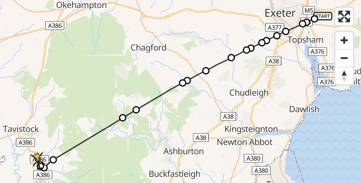
On Sunday, 5 April 2026 at 19:19, a Police Helicopter departed from Clyst Honiton to Crapstone. It was the Police Helicopter with registration number G-CPAS. The flight lasted 17 minutes. During that period, the aircraft travelled 34 miles at an average speed of 123 miles per hour at a maximum altitude of 1925 feet.
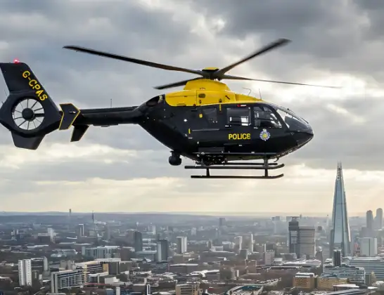
Helicopter: G-CPAS
The helicopter G-CPAS is used by the British police. The helicopter is deployed in pursuits, missing persons cases and other incidents where a helicopter provides added value.
Photo: Tony Melony
35 miles
1925 feet
123 mph
17 minutes
19:19
19:36

Route
Horrabridge, Devon19:36
Crapstone, Devon19:35
Yelverton, Devon19:35
Dousland, Devon19:35
West Devon, Devon19:31
Widecombe-in-the-Moor, Devon19:30
Manaton, Devon19:27
Water, Devon19:27
Lustleigh, Devon19:26
Christow, Devon19:24
Doddiscombsleigh, Devon19:23
Teignbridge, Devon19:23
Shillingford St George, Devon19:23
Shillingford Abbot, Devon19:22
Exminster, Devon19:22
Exeter, Devon19:21
Topsham, Devon19:20
Exeter, Devon19:20
Clyst St Mary, Devon19:20
Clyst Honiton, Devon19:19
Live flights
Today
Flights Crapstone
Police Helicopter to Crapstone5 Apr 20:03
Police Helicopter to Crapstone, Horrabridge5 Apr 19:19
Helicopter flights on your website?
You can easily display helicopter flights on your own website. Use the embed code.
