Air Ambulance Helicopter to Brightlingsea, Back Waterside Lane
Friday, 3 April 2026 | 14:04 | From Earls Colne Airfield
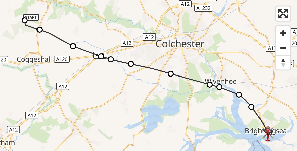
On Friday, 3 April 2026 at 14:04, a Air Ambulance Helicopter departed from Earls Colne Airfield to Brightlingsea. It was the Air Ambulance Helicopter with registration number G-EHAT. The flight lasted 12 minutes. During that period, the aircraft travelled 20 miles at an average speed of 101 miles per hour at a maximum altitude of 1025 feet.
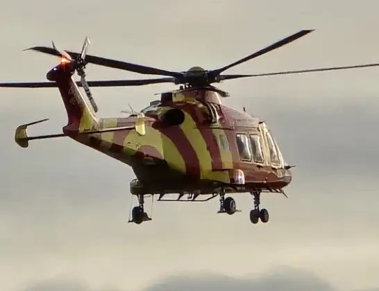
Helicopter: G-EHAT
The helicopter G-EHAT is used as a air ambulance helicopter. The main purpose of this aircraft is to transport a Mobile Medical Team to an incident as quickly as possible, enabling the trauma doctor to provide immediate first aid on site. The aircraft is flying this flight as Air Ambulance Helicopter.
Photo: By Steve Knight
21 miles
1025 feet
101 mph
13 minutes
14:04
14:16

Route
Brightlingsea, Essex14:16
Back Waterside Lane, Essex14:16
Brightlingsea, Essex14:11
Alresford, Essex14:11
Fingringhoe, Essex14:10
Rowhedge, Essex14:10
Berechurch, Essex14:09
Colchester, Essex14:08
Copford, Essex14:07
Marks Tey, Essex14:07
Great Tey, Essex14:06
Coggeshall, Essex14:05
Braintree, Essex14:05
Earls Colne Airfield, Colchester, Essex14:04
Live flights
Today
Flights Brightlingsea
Air Ambulance Helicopter to Earls Colne Airfield18 May 17:00
Air Ambulance Helicopter to North Weald Airfield10 Apr 19:45
Air Ambulance Helicopter to Brightlingsea10 Apr 18:59
Helicopter flights on your website?
You can easily display helicopter flights on your own website. Use the embed code.
