Air Ambulance Helicopter to Highfields, West Walk
Thursday, 2 April 2026 | 16:26 | From Hugglescote
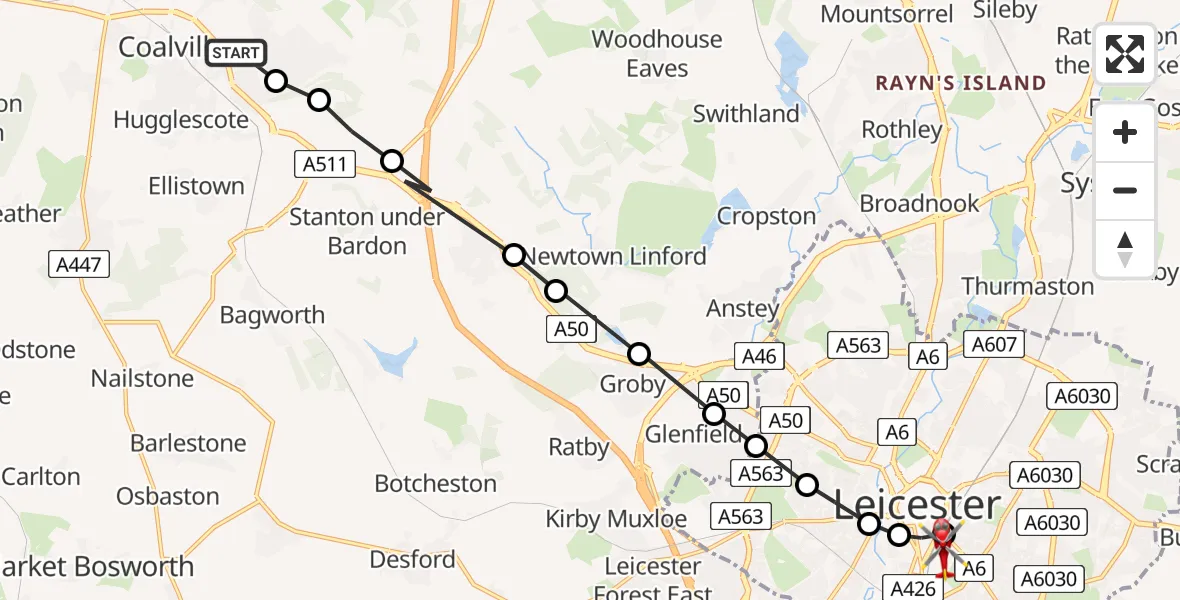
On Thursday, 2 April 2026 at 16:26, a Air Ambulance Helicopter departed from Hugglescote to Highfields. It was the Air Ambulance Helicopter with registration number G-WNAS. The flight lasted 5 minutes. During that period, the aircraft travelled 13 miles at an average speed of 166 miles per hour at a maximum altitude of 1325 feet.
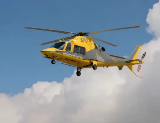
Helicopter: G-WNAS
The helicopter G-WNAS is used as an ambulance helicopter. The helicopter is equipped with a stretcher for transporting patients. The helicopter is often used to transport to hospitals.
Photo: Tony Melony
14 miles
1325 feet
166 mph
5 minutes
16:26
16:31

Route
West Walk, Leicester16:31
Highfields, Leicester16:31
Bede Island, Leicester16:31
West End, Leicester16:30
Dane Hills, Leicester16:30
New Parks, Leicester16:30
Glenfield, Leicestershire16:29
Groby, Leicestershire16:29
Markfield, Leicestershire16:28
Newtown Linford, Leicestershire16:28
Stanton under Bardon, Leicestershire16:27
North West Leicestershire, Leicestershire16:27
Coalville, Leicestershire16:27
Broom Leys Road, Leicestershire16:26
Live flights
Today
Flights Highfields
Air Ambulance Helicopter to Nottingham Heliport26 Jun 14:01
Air Ambulance Helicopter to Nottingham Heliport23 Apr 14:02
Flights Hugglescote
Air Ambulance Helicopter to Nottingham Heliport17 Apr 18:25
Air Ambulance Helicopter to Nottingham Heliport19 Mar 17:28
Air Ambulance Helicopter to Nottingham Heliport19 Mar 11:45
Helicopter flights on your website?
You can easily display helicopter flights on your own website. Use the embed code.
