Air Ambulance Helicopter to Redhill Aerodrome
Wednesday, 1 April 2026 | 20:10 | From Yalding
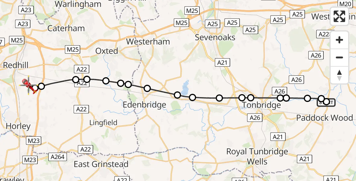
On Wednesday, 1 April 2026 at 20:10, a Air Ambulance Helicopter departed from Yalding to Redhill Aerodrome. It was the Air Ambulance Helicopter with registration number G-LNAC. The flight lasted 14 minutes. During that period, the aircraft travelled 24 miles at an average speed of 99 miles per hour at a maximum altitude of 1100 feet.
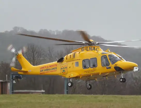
Helicopter: G-LNAC
The helicopter G-LNAC is used as a air ambulance helicopter. The main purpose of this aircraft is to transport a Mobile Medical Team to an incident as quickly as possible, enabling the trauma doctor to provide immediate first aid on site. The aircraft is flying this flight as Air Ambulance Helicopter.
Photo: James from Cheltenham, Gloucestershire
24 miles
1100 feet
99 mph
15 minutes
20:10
20:24

Route
Redhill Aerodrome, Redhill, Surrey20:24
Redhill Aerodrome, Redhill, Surrey20:23
South Nutfield, Surrey20:22
Tandridge, Surrey20:21
South Godstone, Surrey20:20
Broadham Green, Surrey20:20
Merle Common, Surrey20:19
Tandridge, Surrey20:19
Edenbridge, Kent20:18
Hever, Kent20:17
Sevenoaks, Kent20:17
Chiddingstone Causeway, Kent20:16
Leigh, Kent20:15
Sevenoaks, Kent20:15
Tonbridge, Kent20:14
Capel, Kent20:13
Golden Green, Kent20:13
East Peckham, Kent20:12
Tonbridge and Malling, Kent20:12
East Peckham, Kent20:10
Yalding, Kent20:10
Live flights
Flights Yalding
Air Ambulance Helicopter to Yalding1 Apr 19:21
Helicopter flights on your website?
You can easily display helicopter flights on your own website. Use the embed code.
