Police Helicopter to Collorian Lane
Wednesday, 1 April 2026 | 14:08 | From Porth
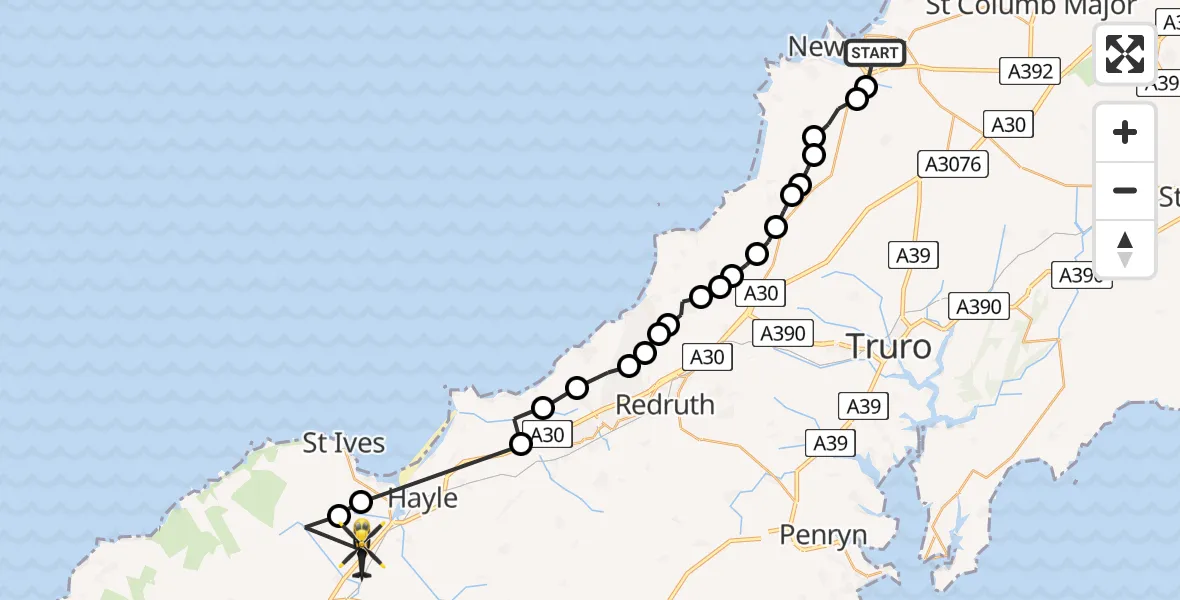
On Wednesday, 1 April 2026 at 14:08, a Police Helicopter departed from Porth to Collorian Lane. It was the Police Helicopter with registration number G-CPAS. The flight lasted 14 minutes. During that period, the aircraft travelled 30 miles at an average speed of 131 miles per hour at a maximum altitude of 1400 feet.
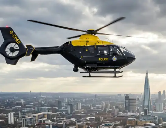
Helicopter: G-CPAS
The helicopter G-CPAS is used by the British police. The helicopter is deployed in pursuits, missing persons cases and other incidents where a helicopter provides added value.
Photo: Tony Melony
31 miles
1400 feet
131 mph
14 minutes
14:08
14:22

Route
Collorian Lane, Cornwall14:22
Cornwall, Cornwall14:20
Carbis Bay, Cornwall14:20
Penponds, Cornwall14:17
Camborne, Cornwall14:16
Cornwall, Cornwall14:16
Illogan, Cornwall14:15
Redruth, Cornwall14:15
Portreath, Cornwall14:14
Porthtowan, Cornwall14:14
Mount Hawke, Cornwall14:13
Blackwater, Cornwall14:13
Goonbell, Cornwall14:12
Perrancoombe, Cornwall14:12
Perranzabuloe, Cornwall14:11
Bolingey, Cornwall14:11
Goonhavern, Cornwall14:11
Cubert, Cornwall14:10
Perranzabuloe, Cornwall14:10
Cubert, Cornwall14:09
St. Newlyn East, Cornwall14:09
Trerice Drive, Cornwall14:08
Today
Flights Porth
Air Ambulance Helicopter to Dafen, Heol Aur9 May 12:03
Police Helicopter to Collorian Lane1 Apr 14:08
Air Ambulance Helicopter to Porth, Glamis Road22 Mar 11:47
Helicopter flights on your website?
You can easily display helicopter flights on your own website. Use the embed code.
