Air Ambulance Helicopter to Whitehill, Firgrove Road
Wednesday, 1 April 2026 | 13:44 | From Longparish
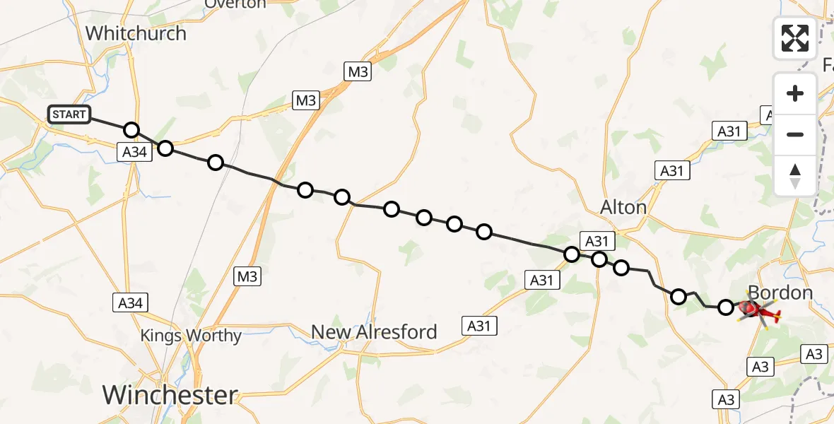
On Wednesday, 1 April 2026 at 13:44, a Air Ambulance Helicopter departed from Longparish to Whitehill. It was the Air Ambulance Helicopter with registration number G-HIOW. The flight lasted 11 minutes. During that period, the aircraft travelled 24 miles at an average speed of 137 miles per hour at a maximum altitude of 1225 feet.
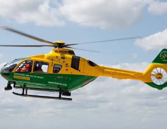
Helicopter: G-HIOW
The helicopter G-HIOW is used as a air ambulance helicopter. The main purpose of this aircraft is to transport a Mobile Medical Team to an incident as quickly as possible, enabling the trauma doctor to provide immediate first aid on site. The aircraft is flying this flight as Air Ambulance Helicopter.
Photo: JF2608
25 miles
1225 feet
137 mph
11 minutes
13:44
13:54

Route
Whitehill, Hampshire13:54
Firgrove Road, Hampshire13:54
Whitehill, Hampshire13:53
Oakhanger, Hampshire13:53
Selborne, Hampshire13:52
Upper Farringdon, Hampshire13:51
Lower Farringdon, Hampshire13:51
East Hampshire, Hampshire13:51
Medstead, Hampshire13:50
Old Alresford, Hampshire13:49
East Hampshire, Hampshire13:49
Preston Candover, Hampshire13:48
Brown Candover, Hampshire13:48
Basingstoke and Deane, Hampshire13:47
Micheldever, Hampshire13:46
Winchester, Hampshire13:45
Test Valley, Hampshire13:44
Southside Road, Hampshire13:44
Live flights
Today
Flights Whitehill
Flights Longparish
Police Helicopter to Bournemouth Airport23 May 14:12
Police Helicopter to Picket Piece, London Road28 Jan 11:29
Police Helicopter to Longparish, Nuns Walk20 Jan 18:22
Helicopter flights on your website?
You can easily display helicopter flights on your own website. Use the embed code.
