Air Ambulance Helicopter to St Blazey
Wednesday, 1 April 2026 | 11:56 | From Treyarnon
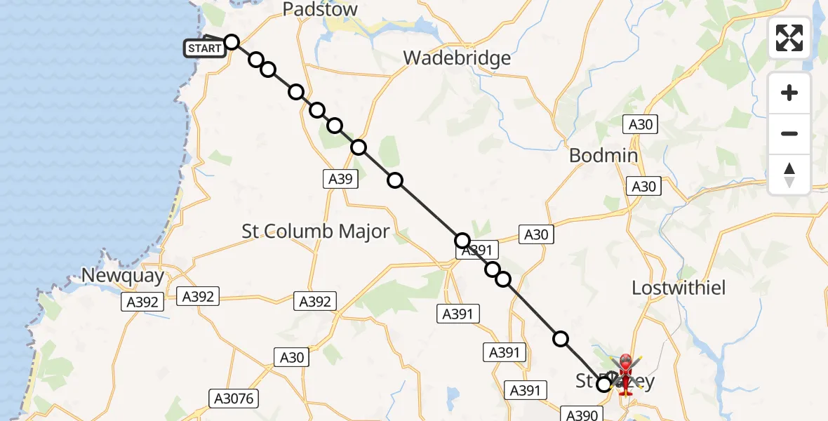
On Wednesday, 1 April 2026 at 11:56, a Air Ambulance Helicopter departed from Treyarnon to St Blazey. It was the Air Ambulance Helicopter with registration number G-CNLL. The flight lasted 9 minutes. During that period, the aircraft travelled 20 miles at an average speed of 135 miles per hour at a maximum altitude of 950 feet.
Helicopter: G-CNLL
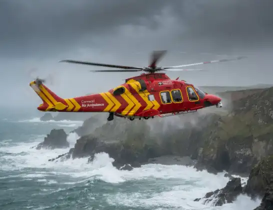
The helicopter G-CNLL is used as a air ambulance helicopter. The main purpose of this aircraft is to transport a Mobile Medical Team to an incident as quickly as possible, enabling the trauma doctor to provide immediate first aid on site. The aircraft is flying this flight as Air Ambulance Helicopter.
Photo: Tony Melony
21 miles
950 feet
135 mph
10 minutes
11:56
12:06

Route
St Blazey, Cornwall12:06
St Blazey, Cornwall12:04
Luxulyan, Cornwall12:03
Bugle, Cornwall12:02
Roche Barton Farm Airstrip, Saint Austell, Cornwall12:02
St. Columb Major, Cornwall12:01
Cornwall, Cornwall12:00
Tremayne, Cornwall12:00
Cornwall, Cornwall11:59
St. Columb Major, Cornwall11:59
Rumford, Cornwall11:59
St. Merryn, Cornwall11:58
Harlyn, Cornwall11:58
Constantine Bay, Cornwall11:58
Treyarnon, Cornwall11:56
Live flights
Police Helicopter on its way from Ewelme13 Jul 22:24
Today
Police Helicopter to Bournemouth Airport13 Jul 23:55
Air Ambulance Helicopter to Cardiff Heliport13 Jul 23:38
Police Helicopter to Birmingham Airport13 Jul 23:21
Police Helicopter to Irlam, Twelve Yards Road13 Jul 23:00
Flights Treyarnon
Police Helicopter to Treyarnon20 Apr 15:46
Air Ambulance Helicopter to St Blazey1 Apr 11:56
Air Ambulance Helicopter to Treyarnon1 Apr 11:05
Air Ambulance Helicopter to Treyarnon1 Apr 11:00
Coastguard Helicopter to Treyarnon9 Feb 16:02
Helicopter flights on your website?
You can easily display helicopter flights on your own website. Use the embed code.
