Air Ambulance Helicopter to Star, Gwibffordd Gogledd Cymru / North Wales Expressway
Tuesday, 31 March 2026 | 18:59 | From Caernarfon Airport
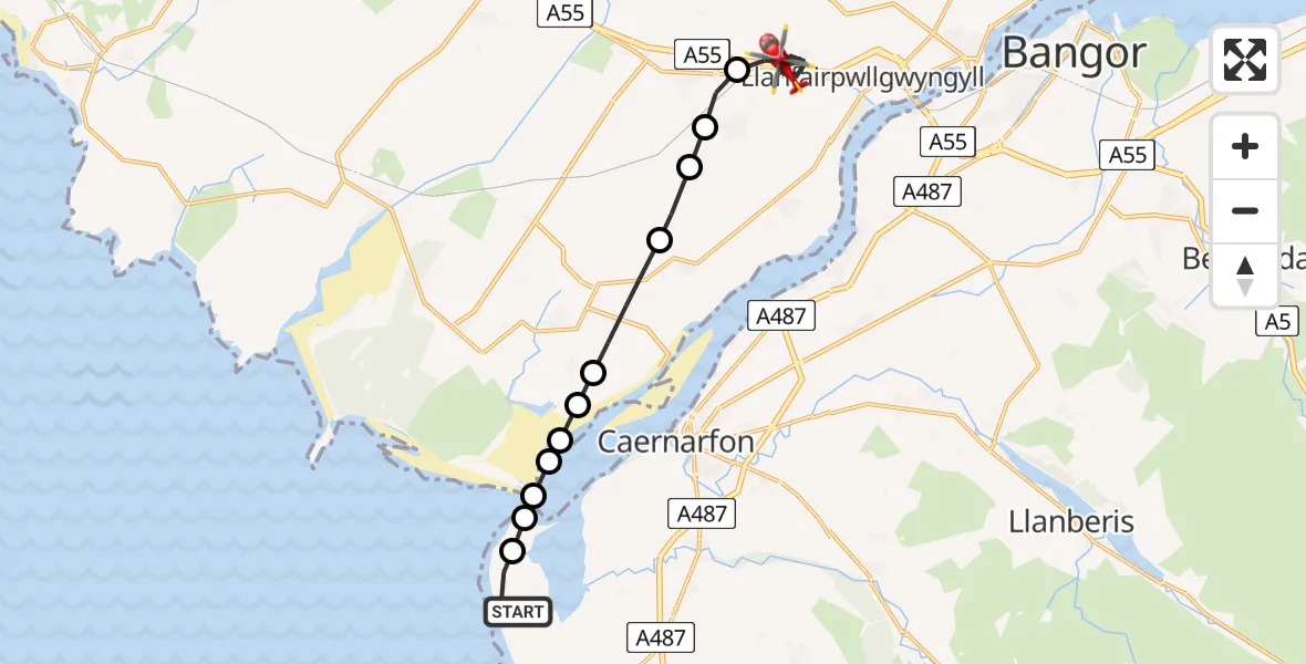
On Tuesday, 31 March 2026 at 18:59, a Air Ambulance Helicopter departed from Caernarfon Airport to Star. It was the Air Ambulance Helicopter with registration number G-WOBR. The flight lasted 11 minutes. During that period, the aircraft travelled 13 miles at an average speed of 74 miles per hour at a maximum altitude of 450 feet.
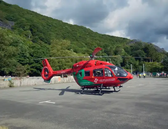
Helicopter: G-WOBR
The helicopter G-WOBR is used as a air ambulance helicopter. The main purpose of this aircraft is to transport a Mobile Medical Team to an incident as quickly as possible, enabling the trauma doctor to provide immediate first aid on site. The aircraft is flying this flight as Air Ambulance Helicopter.
Photo: Hefin Owen
14 miles
450 feet
74 mph
11 minutes
18:59
19:10

Route
Gwibffordd Gogledd Cymru / North Wales Expressway, Isle of Anglesey19:10
Star, Isle of Anglesey19:06
Gaerwen, Isle of Anglesey19:06
Llanddaniel Fab, Isle of Anglesey19:05
Brynsiencyn, Isle of Anglesey19:05
Dwyran, Isle of Anglesey19:04
Ynys Môn / Isle of Anglesey, Isle of Anglesey19:04
Rhosyr, Isle of Anglesey19:03
Dwyran, Isle of Anglesey19:03
Rhosyr, Isle of Anglesey19:03
Gwynedd, Gwynedd19:03
Llandwrog, Gwynedd19:02
Caernarfon Airport, Caernarfon18:59
Live flights
Air Ambulance Helicopter on its way from Ashford14 Jul 23:46
Coastguard Helicopter on its way from North Sea14 Jul 23:44
Today
Police Helicopter to Johnstone, Gordon Square14 Jul 23:38
Coastguard Helicopter to North Sea14 Jul 23:30
Police Helicopter to Inner Seas14 Jul 23:12
Air Ambulance Helicopter to Norwich Airport14 Jul 22:52
Police Helicopter to Manchester Barton Aerodrome14 Jul 22:50
Police Helicopter to Sewardstonebury, Bury Road14 Jul 22:44
Air Ambulance Helicopter to Cardiff Heliport14 Jul 22:43
Flights Star
Air Ambulance Helicopter to Star, Penmynydd Road19 Apr 17:30
Air Ambulance Helicopter to Caernarfon Airport31 Mar 19:51
Air Ambulance Helicopter to Star31 Mar 19:10
Helicopter flights on your website?
You can easily display helicopter flights on your own website. Use the embed code.
