Air Ambulance Helicopter to Blackpool Airport
Tuesday, 31 March 2026 | 16:03 | From Shevington
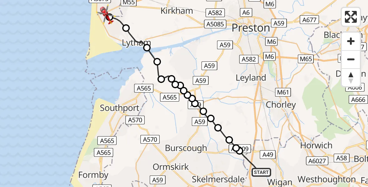
On Tuesday, 31 March 2026 at 16:03, a Air Ambulance Helicopter departed from Shevington to Blackpool Airport. It was the Air Ambulance Helicopter with registration number G-NWAA. The flight lasted 11 minutes. During that period, the aircraft travelled 23 miles at an average speed of 124 miles per hour at a maximum altitude of 975 feet.
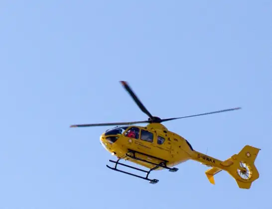
Helicopter: G-NWAA
The helicopter G-NWAA is used as a air ambulance helicopter. The main purpose of this aircraft is to transport a Mobile Medical Team to an incident as quickly as possible, enabling the trauma doctor to provide immediate first aid on site. The aircraft is flying this flight as Air Ambulance Helicopter.
Photo: David P Howard
23 miles
975 feet
124 mph
11 minutes
16:03
16:14

Route
Blackpool Airport, Blackpool16:14
Blackpool Airport, Blackpool16:14
Lytham St Annes, Lancashire16:13
Lytham, Lancashire16:11
West Lancashire, Lancashire16:10
Banks, Lancashire16:10
West Lancashire, Lancashire16:09
Mere Brow, Lancashire16:09
West Lancashire, Lancashire16:09
Mere Brow, Lancashire16:09
West Lancashire, Lancashire16:09
Mere Brow, Lancashire16:08
West Lancashire, Lancashire16:08
Rufford, Lancashire16:08
Chorley, Lancashire16:07
Mawdesley, Lancashire16:07
Bispham Green, Lancashire16:06
West Lancashire, Lancashire16:05
Appley Bridge, Lancashire16:05
Crooke Road, Hartlepool16:03
Live flights
Police Helicopter on its way from RAF Benson12 Jul 22:54
Police Helicopter on its way from Dundrod12 Jul 22:50
Today
Police Helicopter to East Ardsley, Stoney Lane12 Jul 23:51
Police Helicopter to Birmingham Airport12 Jul 23:46
Air Ambulance Helicopter to Glasgow Airport12 Jul 22:48
Police Helicopter to Walton Wood Airfield12 Jul 22:44
Flights Shevington
Air Ambulance Helicopter to Blackpool Airport31 Mar 16:03
Helicopter flights on your website?
You can easily display helicopter flights on your own website. Use the embed code.
